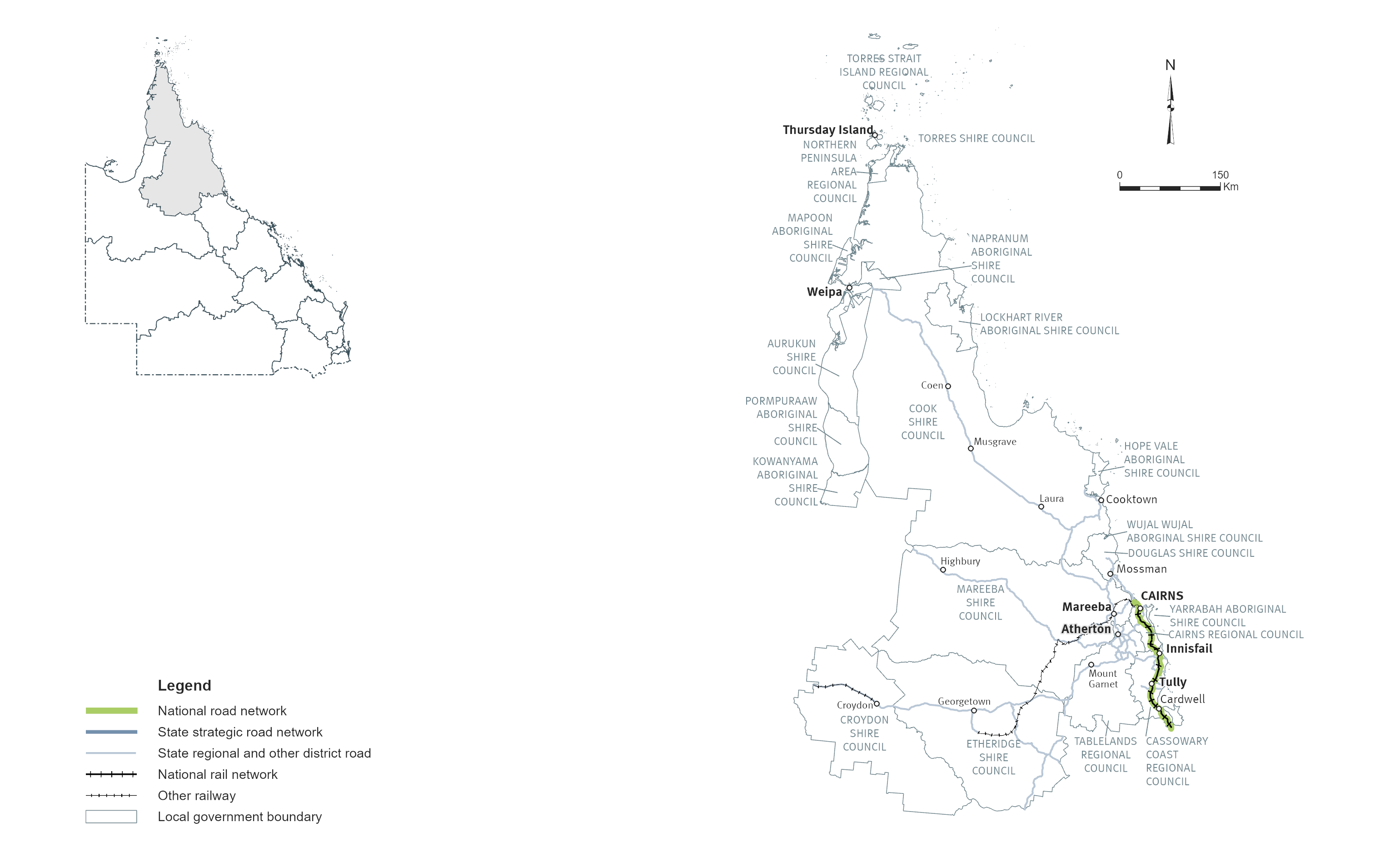
Far North
Key facts
Area covered by location1
Population of Queensland1
Other state-controlled road network
National Land Transport Network2
Program Highlights
Our top investments includes:
- $359 million Captain Cook Highway, Cairns CBD to Smithfield, upgrade (jointly funded with the Australian Government)
- $300 million Cairns Western Arterial Road, Redlynch Connector Road to Captain Cook Highway duplication (jointly funded with the Australian Government)
- $262.5 million funding commitment for Kuranda Range Road upgrade (jointly funded with the Australian Government). Project details and timing subject to further planning and negotiation with the Australian Government
- $225 million Bruce Highway, Cairns Southern Access Corridor (Stage 5), Foster Road upgrade intersection (jointly funded with the Australian Government)
- $54.9 million towards Peninsula Developmental Road, Archer River Crossing, construct bridge (jointly funded with the Australian Government)
- $40 million funding commitment for Torres Strait Islands Marine Infrastructure Program
- $31.9 million towards Cairns Southern Access Cycleway, construct cycleway (jointly funded with the Australian Government)
- $21.3 million Gillies Range Road, various locations, improve safety
- $17.6 million Peninsula Developmental Road (Laura -Coen), Yarraden to Three Sisters (Part A), pave and seal (jointly funded with the Australian Government)
- $12 million Gulf Developmental Road (Croydon - Georgetown) (Package 4), strengthen and widen pavement (jointly funded with the Australian Government)
Investments (interactive)
You can view the list of investments for the Far North area via the QTRIP interactive tool or in the QTRIP PDF.
Map