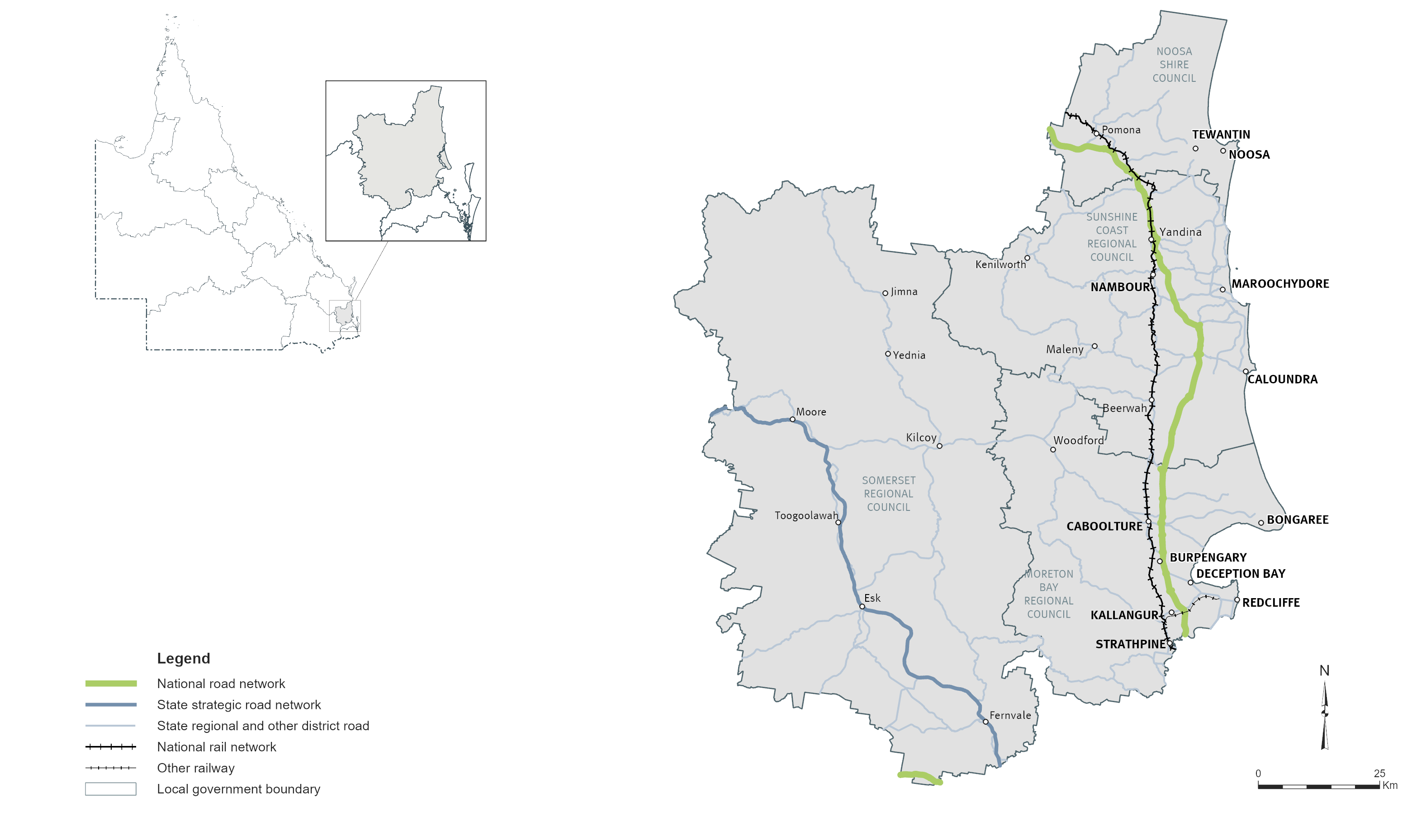
North Coast
Key facts
Area covered by location1
Population of Queensland1
Other state-controlled road network
National Land Transport Network2
Program Highlights
Our top investments included:
- $948 million funding commitment for Bruce Highway, Gateway Motorway to Dohles Rocks Road upgrade (jointly funded with the Australian Government). This commitment is part of integrated planning underway for Gateway Motorway and Bruce Highway Upgrades and also considers upgrades to Gympie Arterial Road (between Strathpine Road and Gateway Motorway). Project cost, scope and timing subject to further planning and negotiation with the Australian Government
- $733 million Bruce Highway, Anzac Avenue to Uhlmann Road upgrade (jointly funded with the Australian Government)
- $662.5 million Bruce Highway, Caboolture - Bribie Island Road to Steve Irwin Way upgrade (jointly funded with the Australian Government)
- $550.8 million Beerburrum to Nambour Rail Upgrade (Stage 1) (jointly funded with the Australian Government)
- $320 million Sunshine Motorway, Mooloolah River Interchange Upgrade (Stage 1) (jointly funded with the Australian Government)
- $250 million funding commitment for Bruce Highway, Dohles Rocks Road to Anzac Avenue upgrade (jointly funded with the Australian Government). This commitment is part of the integrated
planning underway for Gateway Motorway and Bruce Highway Upgrades. Project cost, scope and timing subject to further planning and negotiation with the Australian Government
- $105 million Bruce Highway, Pine River to Caloundra Road, Smart Motorways (Stage 2) (jointly funded with the Australian Government)
- $75.2 million Strathpine - Samford Road, Eatons Crossing Road and Mount Samson Road intersection, improve safety
- $39.3 million towards Caboolture - Bribie Island Road, upgrade program (jointly funded with the Australian Government)
- $36.4 million towards Caboolture - Bribie Island Road, Hickey Road to King Johns Creek, upgrade (jointly funded with the Australian Government)
Investments (interactive)
You can view the list of investments for the North Coast area via the QTRIP interactive tool or in the QTRIP PDF.
Map