
New England Highway (Yarraman - Toowoomba), Borneo Barracks (Cabarlah), construct turning lanes
The department is working with the Department of Defence to upgrade the entrance to the Borneo Barracks from the New England Highway at Cabarlah...
The department is working with the Department of Defence to upgrade the entrance to the Borneo Barracks from the New England Highway at Cabarlah...

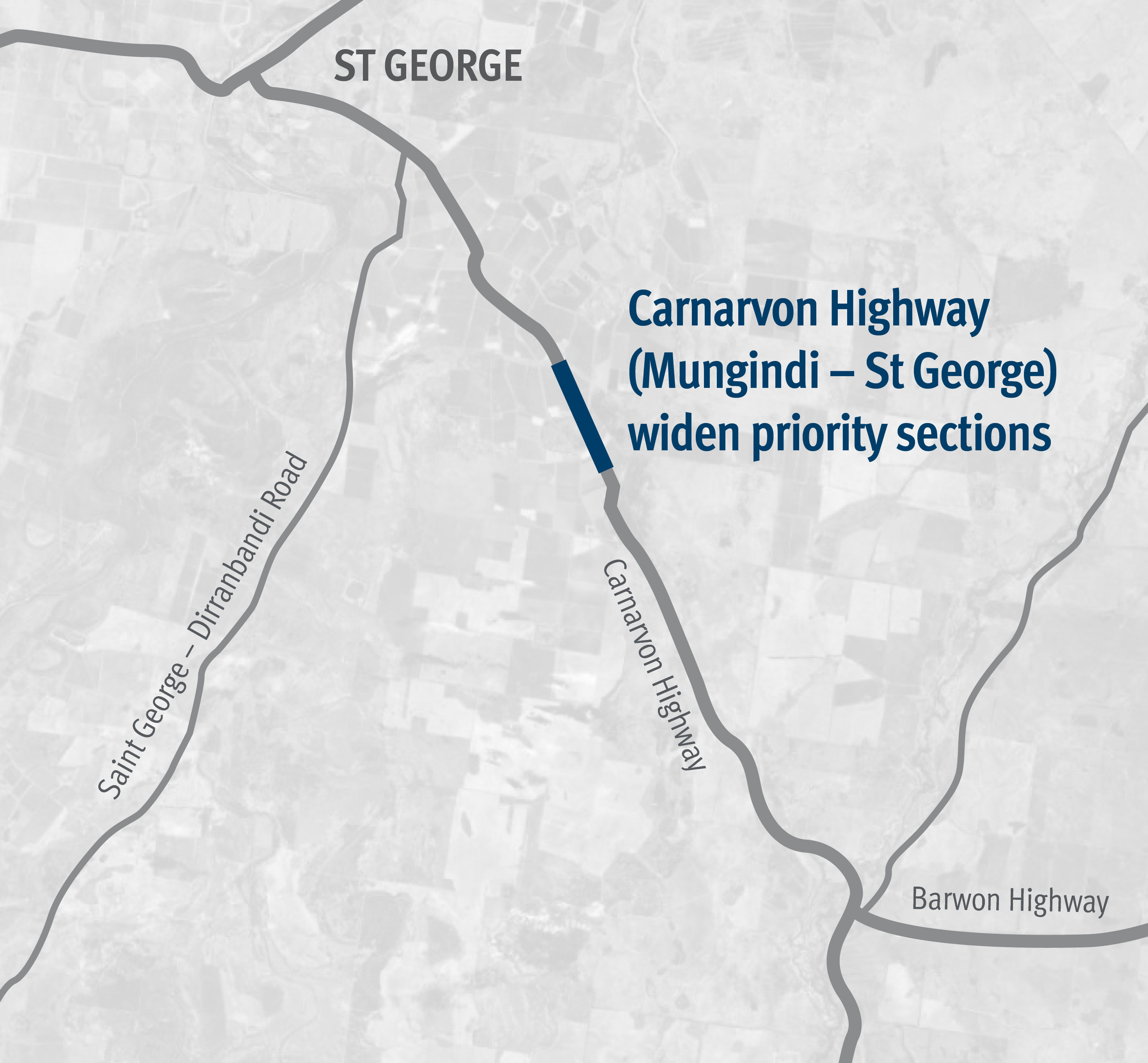
Works involved pavement widening and sealing between 81.71km and 84.99km east of St George...
The Gowrie to Grandchester Rail Corridor Study investigated a rail corridor that would help mitigate the constraints on rail operations caused by the Toowoomba and Little Liverpool Range crossings...
The Department of Transport and Main Roads is undertaking detailed design for an upgrade of the Maryborough-Hervey Bay Road and Pialba-Burrum Heads Road intersection in Eli Waters...
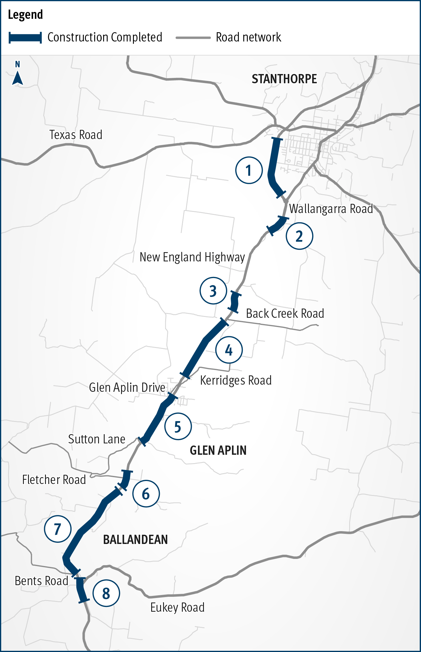
New England Highway Warwick to Wallangarra safety improvements...
Planning is underway to make the Cunningham Highway safer between Warwick and Inglewood...
A new bridge at Wyaga Creek on the Gore Highway will improve flood immunity, safety and efficiency on one of Queensland's most important transport links...
Construction has started on flood immunity and road safety upgrades on Torbanlea – Pialba Road between Beelbi Creek and Takura...
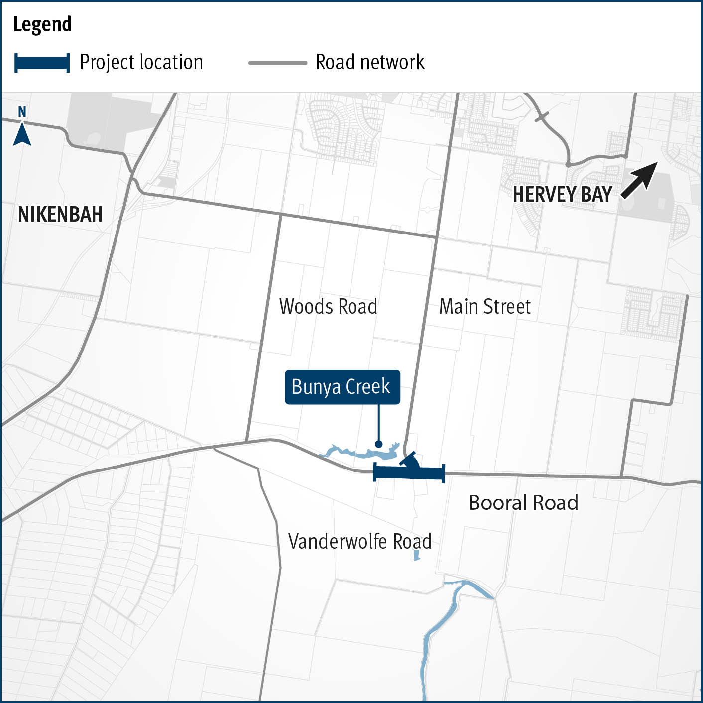
Planning is underway to improve flood immunity and safety on a section of Booral Road at Bunya Creek, including the Main Street intersection...
This project involves a 62km realignment and upgrade of the Bruce Highway to 4 lanes between Cooroy and Curra and is among Queensland's highest priority road projects...