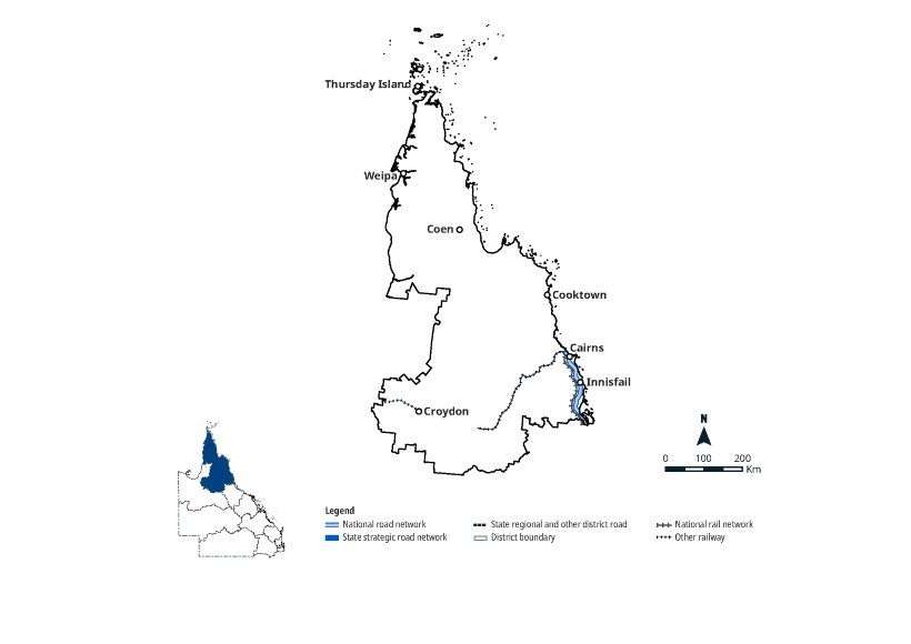
Far North
Key facts
-
272,216km²
area covered by location ⁽¹⁾
-
5.43%
population of Queensland ⁽¹⁾
-
2927km
other state-controlled road network
-
232km
national land transport network ⁽²⁾
-
211km
national rail network ⁽²⁾
Map
Footnotes
(1) Data source: Queensland Government Statistician's Office (Queensland Treasury), Queensland Regional Profiles. https://www.qgso.qld.gov.au, retrieved 5 February 2026.
(2) The detailed mapping reflects the latest National Land Transport Network (NLTN) Determination 2020 as published.
(3) Figures quoted in this section are not mutually exclusive.
Reflects QTRIP 2026–27 to 2029–30.
Feature image: A major downslope slip repair on the Captain Cook Highway south of Turtle Creek Beach, Wangetti. Djabugay Nation.
Last updated: 24 June 2026