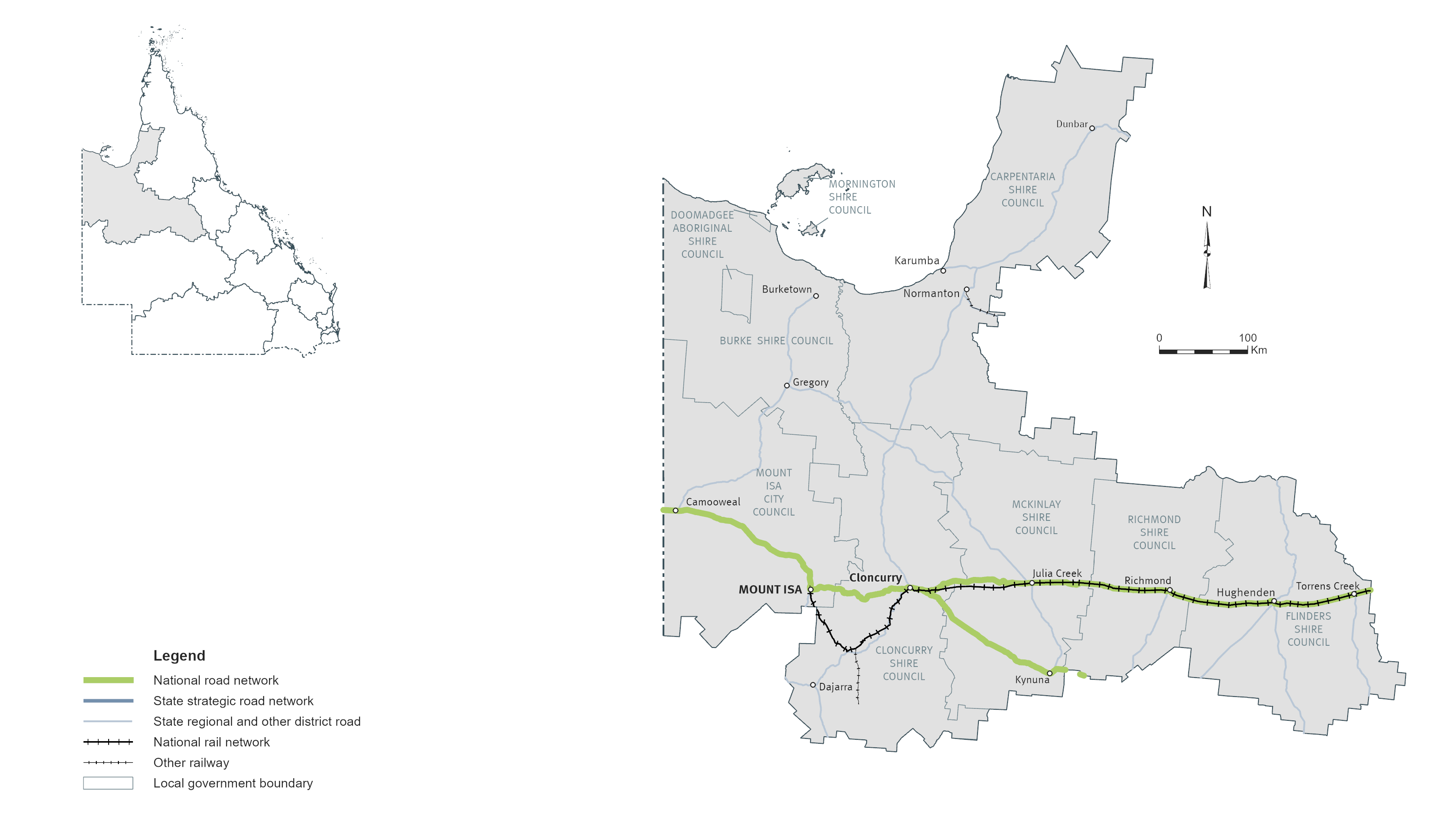
North West
Key facts
Area covered by location1
Population of Queensland1
Other state-controlled road network
National Land Transport Network2
Program Highlights
Our top investments include:
- $50 million Kennedy Developmental Road (The Lynd - Hughenden), progressive sealing (jointly funded with the Australian Government)
- $42.7 million Flinders Highway (Julia Creek - Cloncurry), Scrubby Creek, strengthen pavement and widen floodway (jointly funded with the Australian Government)
- $30 million Flinders Highway (Richmond - Julia Creek), Alick Creek, upgrade floodway and install culverts (jointly funded with the Australian Government)
- $25.5 million Landsborough Highway (Kynuna - Cloncurry), McKinlay River, improve pavement and drainage works (jointly funded with the Australian Government)
- $22.5 million Flinders Highway (Richmond - Julia Creek), various locations, improve pavement and upgrade culvert (jointly funded with the Australian Government)
- $13 million Richmond - Winton Road, strengthen and widen pavement (jointly funded with the Australian Government)
- $11.2 million Burke Developmental Road (Cloncurry - Normanton), various locations, widen pavement
- $10 million Flinders Highway (Julia Creek - Cloncurry), Canal Creek, replace bridge (jointly funded with the Australian Government)
- $7.5 million Cloncurry - Dajarra Road, Malbon Creek floodway, upgrade culvert and approaches (jointly funded with the Australian Government)
- $6.5 million Landsborough Highway (Kynuna - Cloncurry), Nora Creek, improve pavement and drainage works (jointly funded with the Australian Government)
Investments (interactive)
You can view the list of investments for the North West area via the QTRIP interactive tool or the QTRIP PDF.
Map