Showing results 1-10 of 17

Sort results
Sort results
  1. Toowoomba to Brisbane Passenger Rail Strategic Business Case

    This study will investigate passenger rail from Toowoomba to Brisbane...

    No image supplied
  2. Warrego Highway Upgrade Program

    The Warrego Highway Upgrade Program extends from Ipswich to Charleville and started in 2013. The program is focussed on improving freight productivity, efficiency, resilience and road safety...

    No image supplied
  3. Toowoomba North South Transport Corridor Planning

    The Toowoomba North South Transport Corridor planning project proposes to protect a transport corridor for future staged multi modal infrastructure development in the long term future...

    No image supplied
  4. Gatton–Clifton Road Realignment Planning, Mount Whitestone

    The Mount Whitestone business case is investigating options to permanently realign Gatton–Clifton Road between Dry Creek Bridge and Ma Ma Creek Bridge...

    Gatton–Clifton Road Realignment Planning, Mount Whitestone location
  5. New England Highway (Yarraman - Toowoomba), Back Creek bridge, upgrade bridge and approaches, planning

    Community feedback is being sought to plan improvements to the New England Highway at Cooyar...

    No image supplied
  6. Cunningham Highway safety upgrades – Warwick to Inglewood

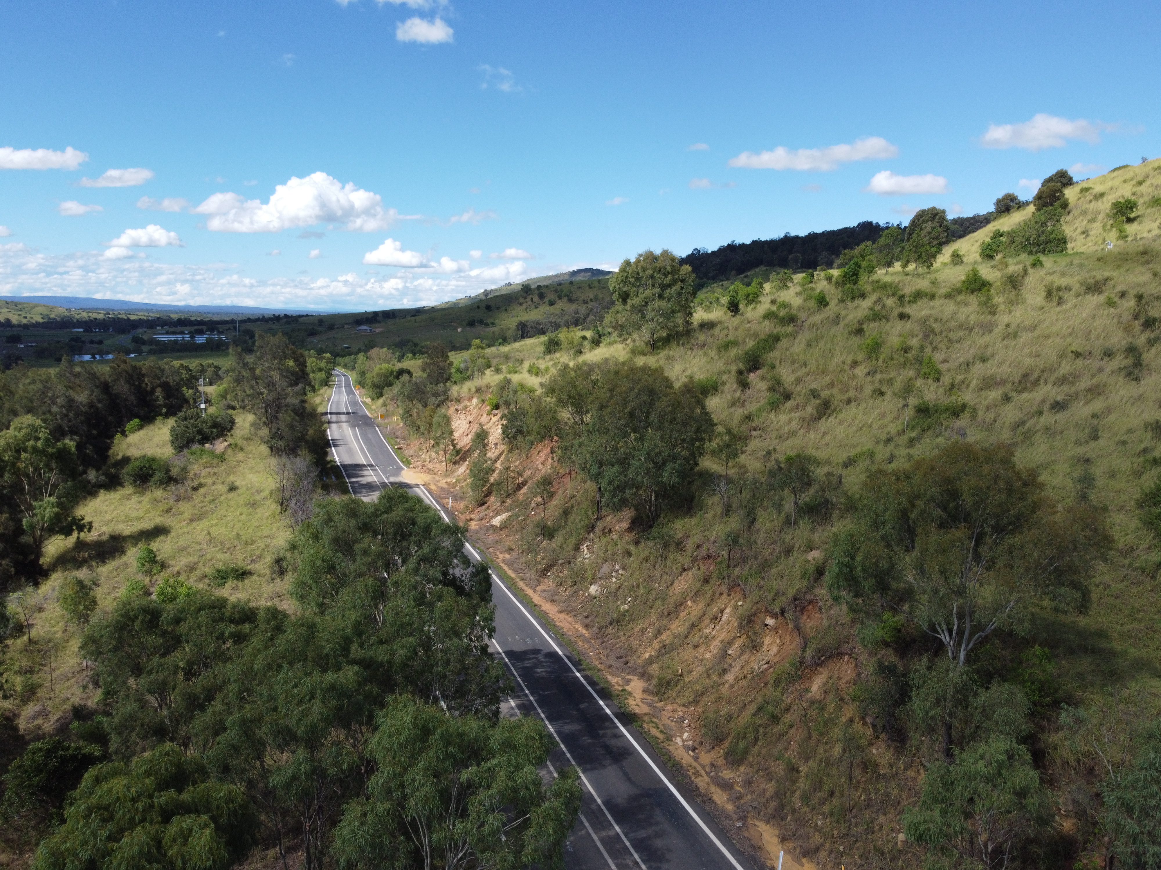
    Planning is underway to make the Cunningham Highway safer between Warwick and Inglewood...

    No image supplied
  7. Booral Road, Bunya Creek floodway and Main Street intersection upgrade, planning

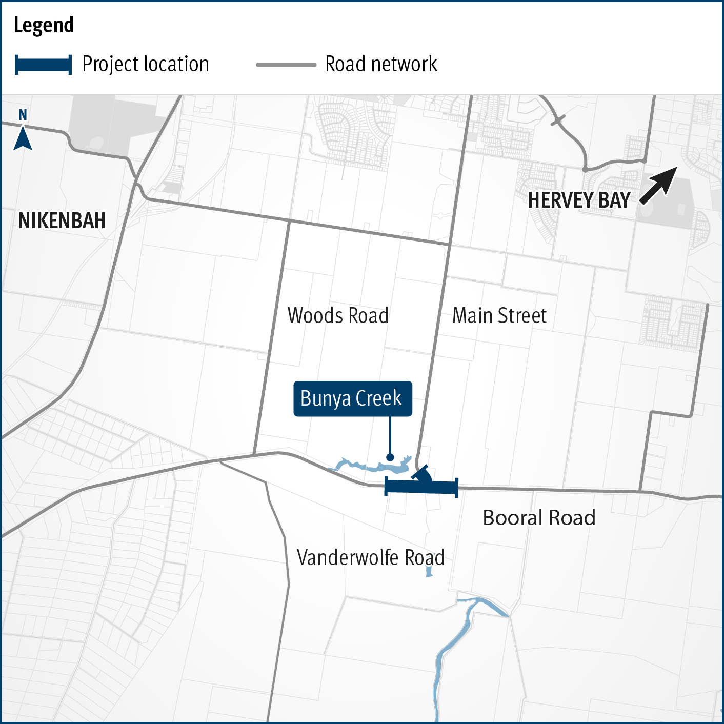
    Planning is underway to improve flood immunity and safety on a section of Booral Road at Bunya Creek, including the Main Street intersection...

    Alternative text: The map shows the locality of the proposed Booral Road, Bunya Creek floodway and Main Street intersection upgrade. Nikenbah is located to the north and Hervey Bay to the north-east. Bunya Creek is located just north west of the proposed project location. A solid dark blue line indicates the project extent, which encompasses the Booral Road and Main Street intersection as well as the Bunya Creek floodway along Booral Road, which is located just west of the intersection. The local road network, including Woods Road and Vanderwolfe Road are also highlighted on the map.
  8. Cunningham Highway Upgrade

    The department has developed a plan to upgrade the Cunningham Highway...

    No image supplied
  9. Oakey-Pittsworth Road, various locations, business case

    Planning is underway to increase safety, efficiency and reliability of Oakey-Pittsworth Road...

    No image supplied
  10. Maryborough-Hervey Bay Road, Ibis Boulevard and Fairway Drive, intersection upgrade, business case

    Maryborough-Hervey Bay Road/Ibis Boulevard/Fairway Drive intersection upgrade...

    No image supplied
Previous Page (disabled)
  1. Page 1
  2. Page 2