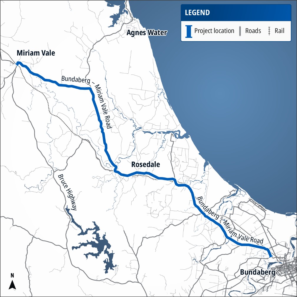
Bundaberg – Miriam Vale Road Rosedale Road Bundaberg to Rosedale
The Queensland Government is investigating opportunities for new overtaking lanes on Bundaberg – Miriam Vale Road between Bundaberg and Miriam Vale.
The project includes assessing Bundaberg – Miriam Vale Road to identify and prioritise locations where overtaking lanes could provide the greatest benefit, supported by technical investigations and community consultation.
Benefits
- Improves safety
- Improves network efficiency
- Reduces travel time
- Contributes to regional growth
Key features
- Technical investigations, traffic and road safety assessments, and community consultation.
- Use of the Rural Overtaking Assessment Model (ROAM) to identify and prioritise overtaking lane locations based on traffic conditions, road safety risks and expected network benefits.
- Community input to provide local context on travel patterns, road use and locations where road users experience difficulties.
Current status
Community consultation and technical investigations are underway to identify potential overtaking opportunities along Bundaberg–Miriam Vale Road.
Project location map