Central West District

6 Projects in Central West District

Filter projects

Filters

Status
Status
Programs
Programs
Type
Type
Reset
  1. Barcaldine-Aramac Road, rehabilitate and widen pavement

    About 20km of the Barcaldine-Aramac Road has been gradually widened to improve travelling conditions...

    No image supplied
  2. Capricorn Highway (Emerald - Alpha), widen pavement

    Works are underway to widen 3 high priority sections of the Capricorn Highway between Emerald and Alpha...
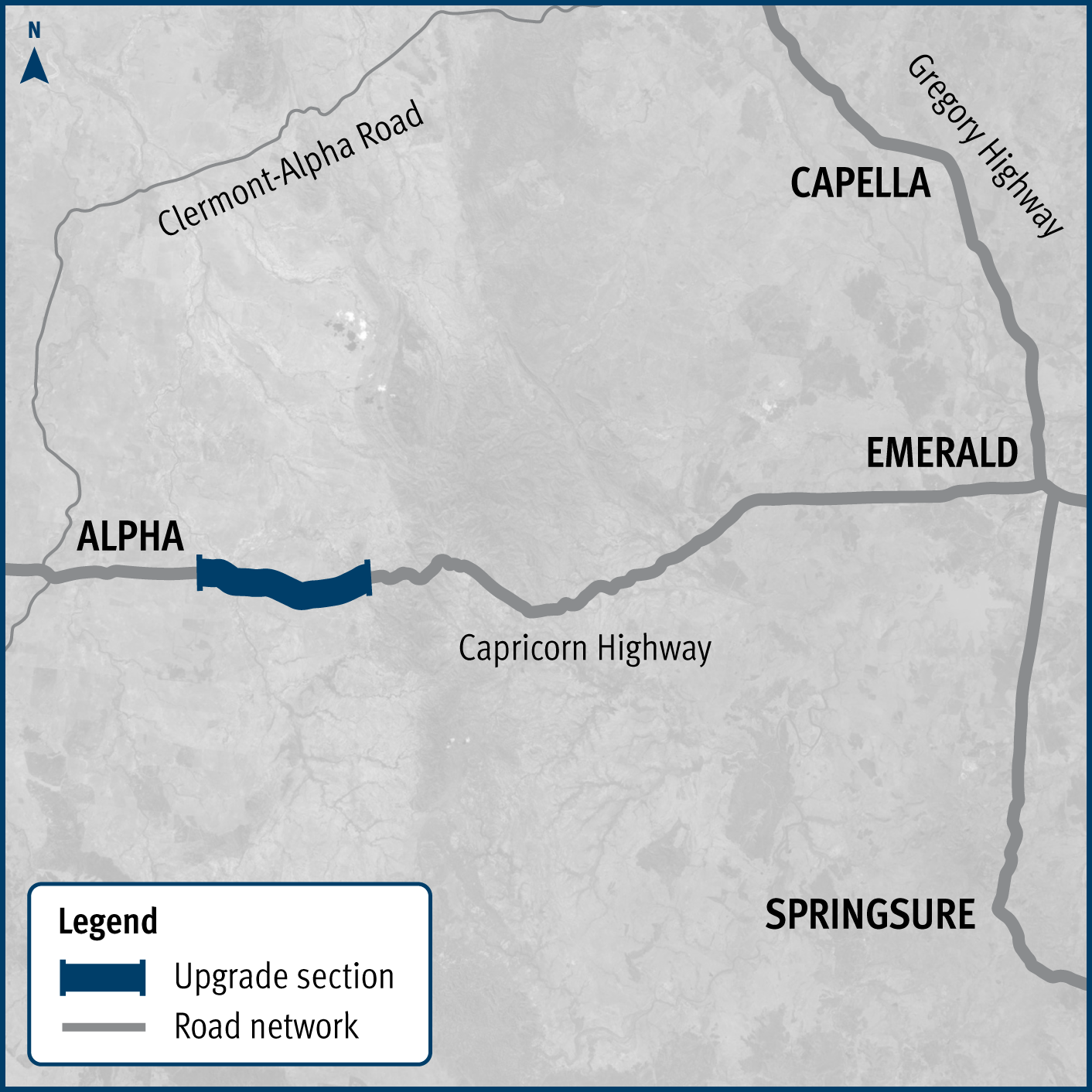
    Capricorn Highway (Emerald - Alpha), widen pavement project map
  3. Cramsie-Muttaburra Road, rehabilitate and widen pavement

    This project will widen and rehabilitate a 3km section of aged, narrow pavement on the Cramsie-Muttaburra Road to a width of 8m, improving safety, overtaking opportunities and travel times...
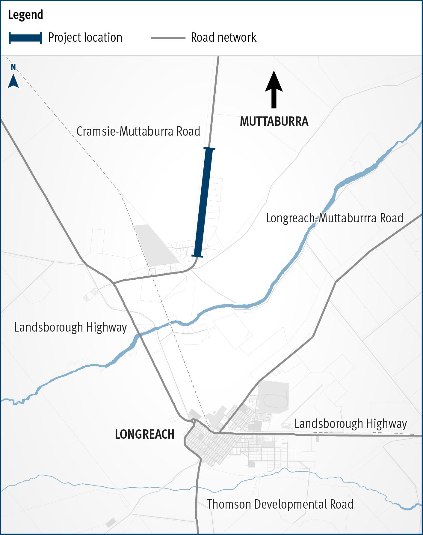
    The map shows the location of rehabilitation and widening works underway on a three kilometre section of the Cramsie-Muttaburra Road. The road is situated between Longreach and Muttaburra in Central West Queensland. The map shows the proximity of the works to the Longreach township and includes the surrounding road network, such as the Landsborough Highway and local government-owned Longreach-Muttaburra Road.
  4. Eyre Developmental Road (Bedourie - Birdsville), pave and seal

    Around 35km of the 185km road is being sealed to improve safety, connectivity and wet weather access...

    No image supplied
  5. Isisford-Blackall Road, pavement rehabilitation

    Works are underway to progressively rehabilitate about 26km of high priority sections of the Isisford - Blackall Road with completion expected in mid-2022...

    No image supplied
  6. Richmond-Winton Road, pave and seal

    Another 3km of the road is being sealed to improve safety and travel times on this key transport link...
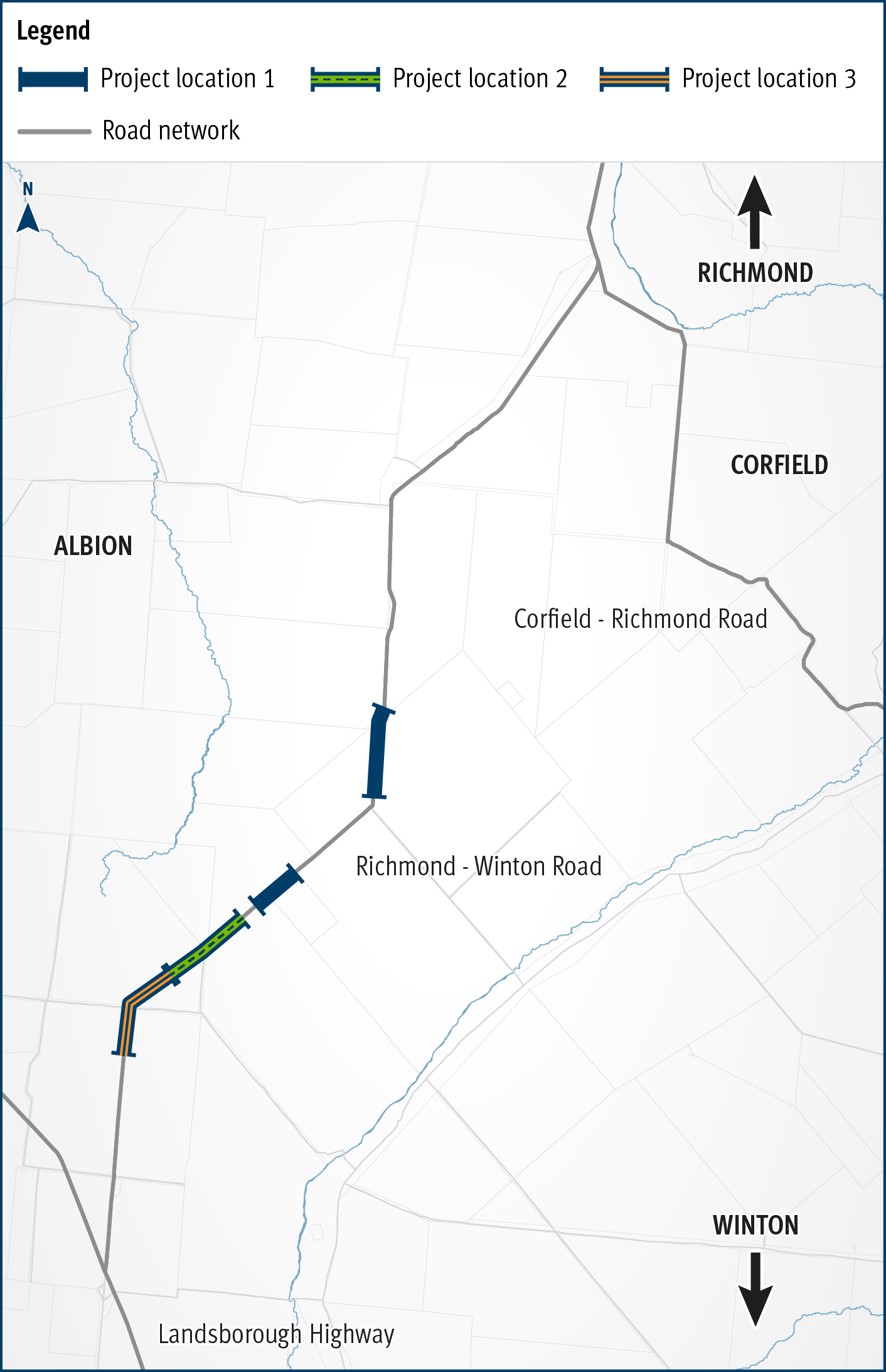
    The map shows the locality of three separate projects on the Richmond-Winton Road delivered as part of a progressive approach to sealing this road. The road is located between Richmond and Winton in western Queensland, with the three projects closest to Winton. Project location 1 is shown by a solid blue line. Project location 2 is shown by a green line with a broken blue line in the centre. Project location 3 is shown by an orange line with a blue line in the centre. The surrounding road network, including the Landsborough Highway and local government owned Corfield-Richmond Road are also shown on the map.