
Bruce Highway—Cooroy to Curra
This project involved a 62km realignment and upgrade of the Bruce Highway to 4 lanes between Cooroy and Curra.
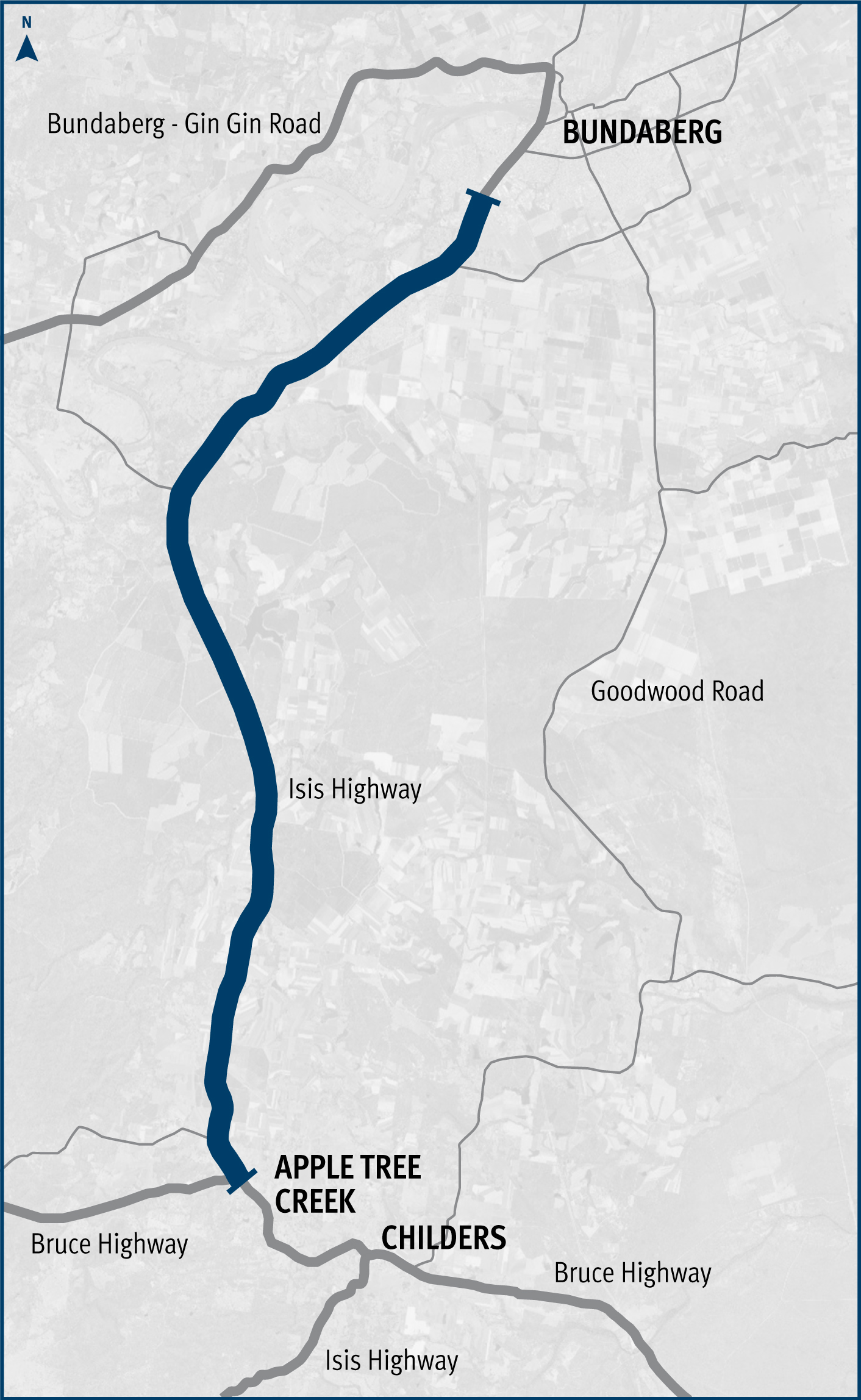
The Queensland Government is undertaking a series of safety improvements along a 40km stretch of the Isis Highway from Airport Drive to the Bruce Highway.
These works are part of the Queensland Government's High Risk Roads Initiative, under the Targeted Road Safety Program, aimed at addressing critical safety concerns along this route.
The project is being delivered progressively, as funding permits, and is divided into several packages to ensure efficient implementation.
The project is fully funded by the Queensland Government under the High Risk Roads Initiative as published in the Queensland Transport and Roads Investment Program.
Investment ID 1776639
Construction is ongoing and being carried out progressively.
2021: installed wide centre line treatment between Philips Road and Hapsburg Road intersections (17km of Isis Highway)
2022: completed Foleys Road intersection upgrade.
2023: completed Voss Road intersection upgrade.
Last updated: 29 September 2025
This project involved a 62km realignment and upgrade of the Bruce Highway to 4 lanes between Cooroy and Curra.
