Mackay – Bucasia Road, capacity upgrades and duplication planning
Planning is complete and has identified future upgrades to Mackay – Bucasia Road to improve congestion, safety, and flooding impacts on this vital link to the Northern Beaches.
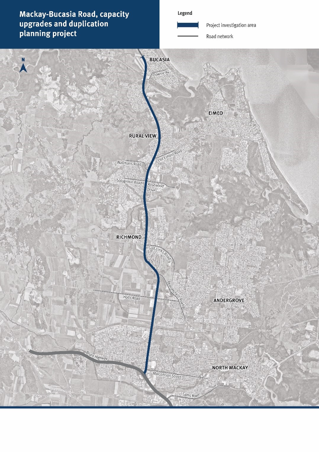
Mackay – Bucasia Road is the sole link connecting the Northern Beaches communities to the Mackay region.
Mackay – Bucasia Road is a key commuter and freight corridor route to employment, goods, services and schools in Mackay. The 11km road connects from the Bruce Highway in North Mackay, and is the only access route to Rural View, Bucasia, Eimeo, Blacks Beach and Shoal Point.
Benefits
- Improves safety
- Increases capacity
- Improves network efficiency
- Increases traffic flow
- Reduces peak hour congestion
- Reduces interchange queuing
- Improves flood immunity
- Better road access
- Reduces travel time
Key features
- Engagement with the local community to provide input into their experiences and concerns as users of the road.
- Identification of key congestion points to address improvements to road capacity.
- Identification of key areas for improvements to safety and efficiency.
Funding
This project is fully funded by the Queensland Government as part of the Transport System Planning Program.
Investment ID: 1818661
- Total investment
- $750,000
- Queensland Government
- $750,000
Current status
The project is completed.
Mackay – Bucasia Road, capacity upgrades and duplication planning project map