


Mount Lindesay Highway Upgrade Program
The Mount Lindesay Highway is being upgraded to improve safety and efficiency.
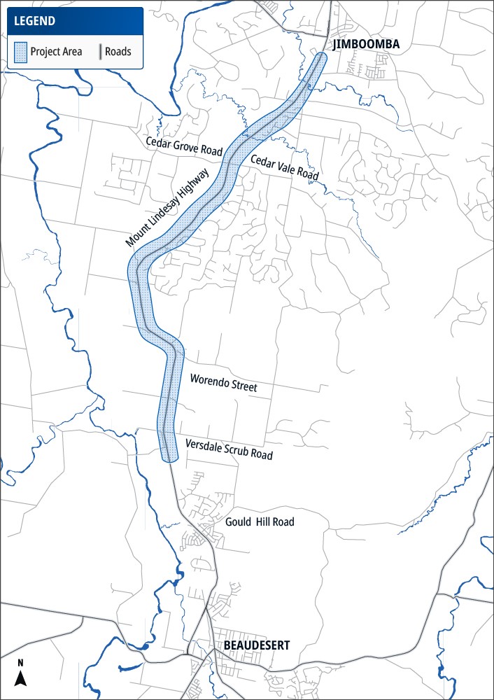
The Queensland Government is planning a range of safety and capacity improvements along sections of the Mount Lindesay Highway between Jimboomba and Beaudesert.
The planning program is focused on improving safety, supporting future growth in the corridor and helping the highway operate more efficiently for all road users.
Mount Lindesay Highway (Brisbane – Beaudesert), Jimboomba to Beaudesert, safety and capacity improvements, is a planned investment.
Investment ID: 3538514.
Planning and design activities are continuing across a number of locations within the corridor to identify and develop future safety and capacity improvements.
Last updated: 25 August 2026
The Mount Lindesay Highway is being upgraded to improve safety and efficiency.
