Strathpine - Samford Road (Eatons Crossing Road and Mount Samson Road), improve intersection and route safety
Construction is complete for safety improvements on Strathpine-Samford Road between Eatons Hill and Samford Valley.
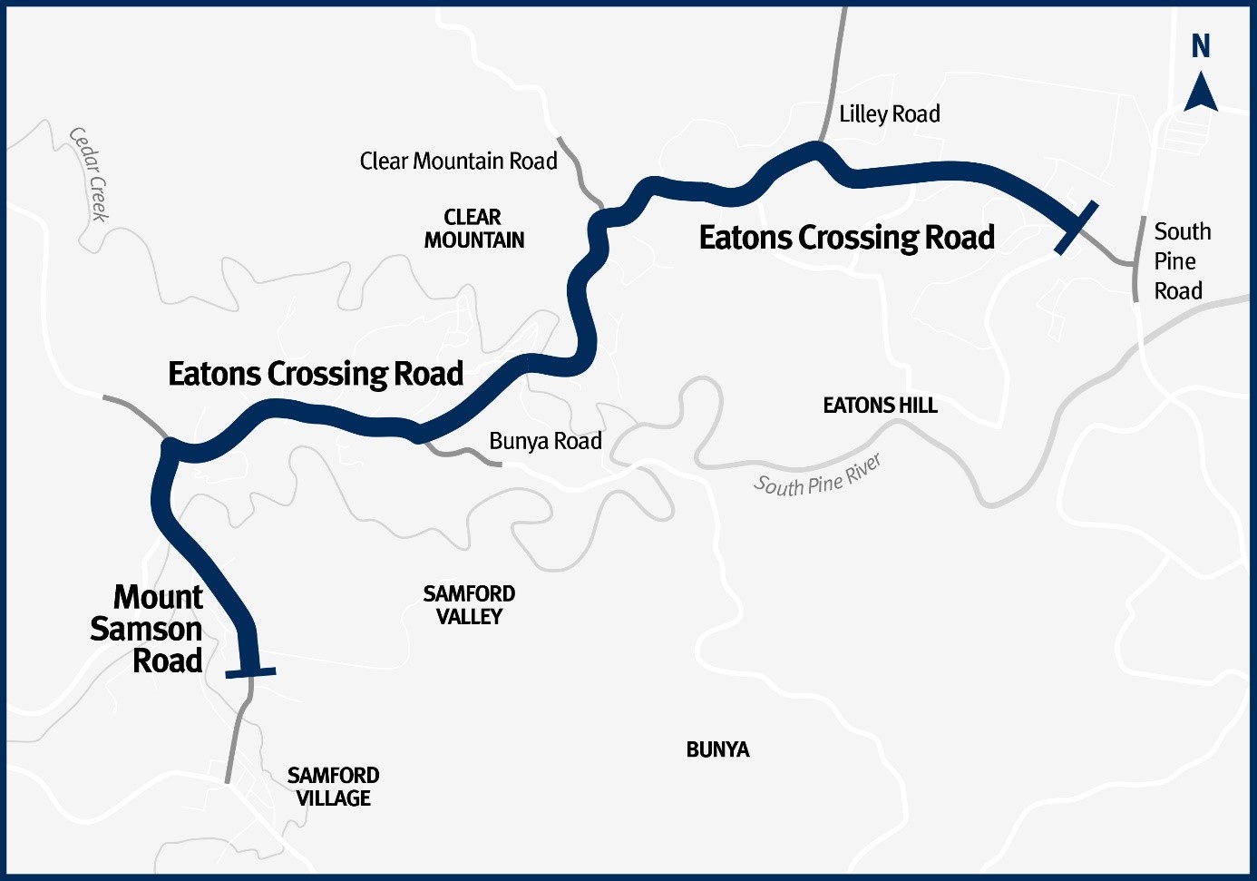
Strathpine-Samford Road, locally known as Eatons Crossing Road and Mount Samson Road, is a busy main road connecting Eatons Hill to Samford. Between 7,000 and 14,000 vehicles use various sections of this road every day.
Benefits
- Improves safety
- Improves network efficiency
- Better active transport
- Increases traffic flow
- Contributes to economy
Key features
- New signals at the Eatons Crossing Road and Lilley Road intersection, Cashmere.
- Strathpine-Samford Road just west of Queen Elizabeth Drive to Gibbons Road widened.
- Wide centre line treatment installed to provide additional separation between vehicles travelling in opposite directions.
- Shoulder widened to provide additional trafficable area to pull over, assist emergency vehicles to pass, accommodate wide vehicles and greater separation between cars and bike riders.
- Safety barriers installed at various locations and removing roadside hazards (including necessary vegetation clearing).
- Dedicated right-turn lanes at Dawneta Court, Albion Road, Lascelle Court, Boland Court, Hodge Road, Lergessner Road, Lawson Road, and Gibbons Road.
- Dedicated left-turn lane at Clear Mountain Road, Hodge Road, Lergessner Road, Alpine Drive, Somers Street, and Gibbons Road to separate turning vehicles from through-traffic lanes.
- Improved bike rider safety with 2m wide shoulders marked with bike symbols and intersection conflict points marked with green paint and bike symbols.
- Fauna management measures, including exclusion fencing and fauna underpasses.
- New police enforcement bays.
Funding
This project is fully funded by the Queensland Government under the Targeted Road Safety Program. Investment ID 1572868
- Total investment
- $75.2 million
- Queensland Government
- $75.2 million
Strathpine - Samford Road (Eatons Crossing Road and Mount Samson Road), improve intersection and route safety location map