Mooloolaba Road, Syd Lingard Drive to Tantula Road West, upgrade intersection
The Queensland Government is progressing construction of the Mooloolaba Road, Syd Lingard Drive to Tantula Road West intersections upgrade project in Buderim.
The department is planning to improve efficiency, capacity and safety on the Sunshine Motorway between the Mooloolah River and the Maroochy River.
This project is a planned investment. The Queensland Government allocated funding through the Transport System Planning.
Investment ID:467886
We are planning to identify staged improvements for an integrated transport network.
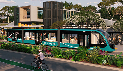
Planning will align with other projects in the study area including The Wave and Mooloolah River Interchange (MRI) projects.
Community feedback provided in late 2021 reinforced the need to address congestion and connectivity in the area and will inform future planning.
There is currently no funding allocated for detailed planning, design or construction. Funding to progress further planning for priority needs will be considered against other infrastructure priorities across the state.

Location map depicting the Sunshine Motorway (Mooloolah River to Maroochy River) planning area.
Last updated: 24 December 2025
The Queensland Government is progressing construction of the Mooloolaba Road, Syd Lingard Drive to Tantula Road West intersections upgrade project in Buderim.

The Queensland Government is progressing the Mooloolah River Interchange (MRI) Upgrade to improve safety, reduce congestion and enhance connectivity on the Sunshine Coast's transport network.
We're improving travel across the Sunshine Coast with The Wave, a major transport upgrade featuring a heavy passenger rail and a metro-style service connecting the Sunshine Coast Airport to Maroochydore city centre.