
Inclusive mapping for people with mobility impairments
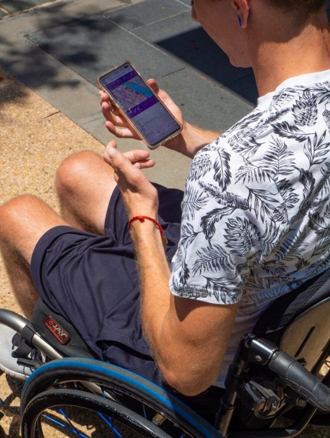
Image credit: Department of Transport and Main Roads
Action 3.3, Action Plan for Walking 2019–2021
Status: Complete
Pilot the use of inclusive mapping methods to enhance information for people with mobility impairments to access footpaths.
Key achievements
The ability for people using wheelchairs and other mobility devices to negotiate the built environment is often hindered by lack of mapping and wayfinding information about accessible routes.
This pilot project combined the lived experience of people with disability, with innovative technology to collect and share information about footpath conditions and access to public transport and key destinations.
The project was a partnership between the Department of Transport and Main Roads (TMR) and Briometrix Australia, a leading provider of technology solutions for people with disabilities.
Data was collected by people with disabilities, paid to travel the network with sensors fitted to their wheelchairs gathering information about footpath conditions and the level of effort required to negotiate the built environment. From this, maps were generated to show accessible pathways and potentially match routes to a person's physical abilities.
Maps have been developed for a small but diverse range of areas to test a number of aspects of the overall approach. Interactive maps for the following areas are now ready to be viewed by the public:
- South Brisbane
- South Bank (funded by South Bank Corporation)
- Townsville CBD and North Queensland Stadium Precinct (CBD funded by Townsville City Council and extended to the stadium precinct under the TMR project)
- Rockhampton CBD.
TMR will continue to assess the application of Inclusive Mapping approaches.
Lead agency
Department of Transport and Main Roads in partnership with Briometrix Australia
More information
Find further information on the Inclusive Mapping Pilot project.
The project also fulfils response 3a of the South Brisbane Transport and Mobility Study.
- Last updated
- 5 August 2021