


Bruce Highway Upgrade Program
The Queensland Government is committed to improving the 1,671.3km Bruce Highway from Pine River to Cairns, focusing on capacity, safety, and flood resilience.
Detailed design is underway for the Bruce Highway (Mackay – Proserpine) O'Connell River to Proserpine, (Goorganga Floodplain) upgrade flood immunity project.
The need for improvements to the Bruce Highway, along the Goorganga Plains corridor, has been identified through the Bruce Highway Link Flood Study and the Bruce Highway Upgrade Program.
The project focuses on a 12.5km section of the Bruce Highway for the Goorganga Plains upgrade.
This is a planned investment. The Australian and Queensland governments have allocated funding towards planning for this program of work, with scope, cost and timing subject to further project development, site investigations and consideration.
Investment ID: 2342729
The project is in the early design phase. Field assessments are underway to better understand the site conditions to help inform the detailed design.

Last updated: 2 September 2026
The Queensland Government is committed to improving the 1,671.3km Bruce Highway from Pine River to Cairns, focusing on capacity, safety, and flood resilience.
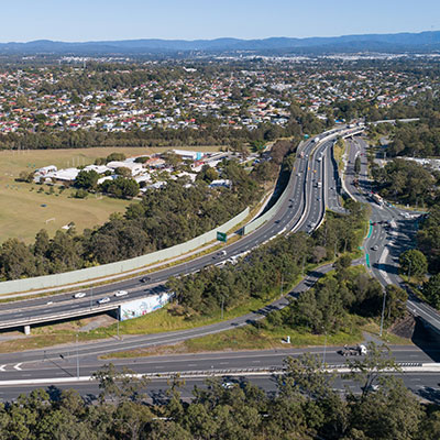
Construction is underway for around 2km of overtaking opportunities and upgrades to pavement and lighting at the Gunyarra Road intersection.
