Gold Coast Light Rail Stage 4
The proposed Gold Coast Light Rail Stage 4 is a world class public transport system for residents and visitors to the Gold Coast.
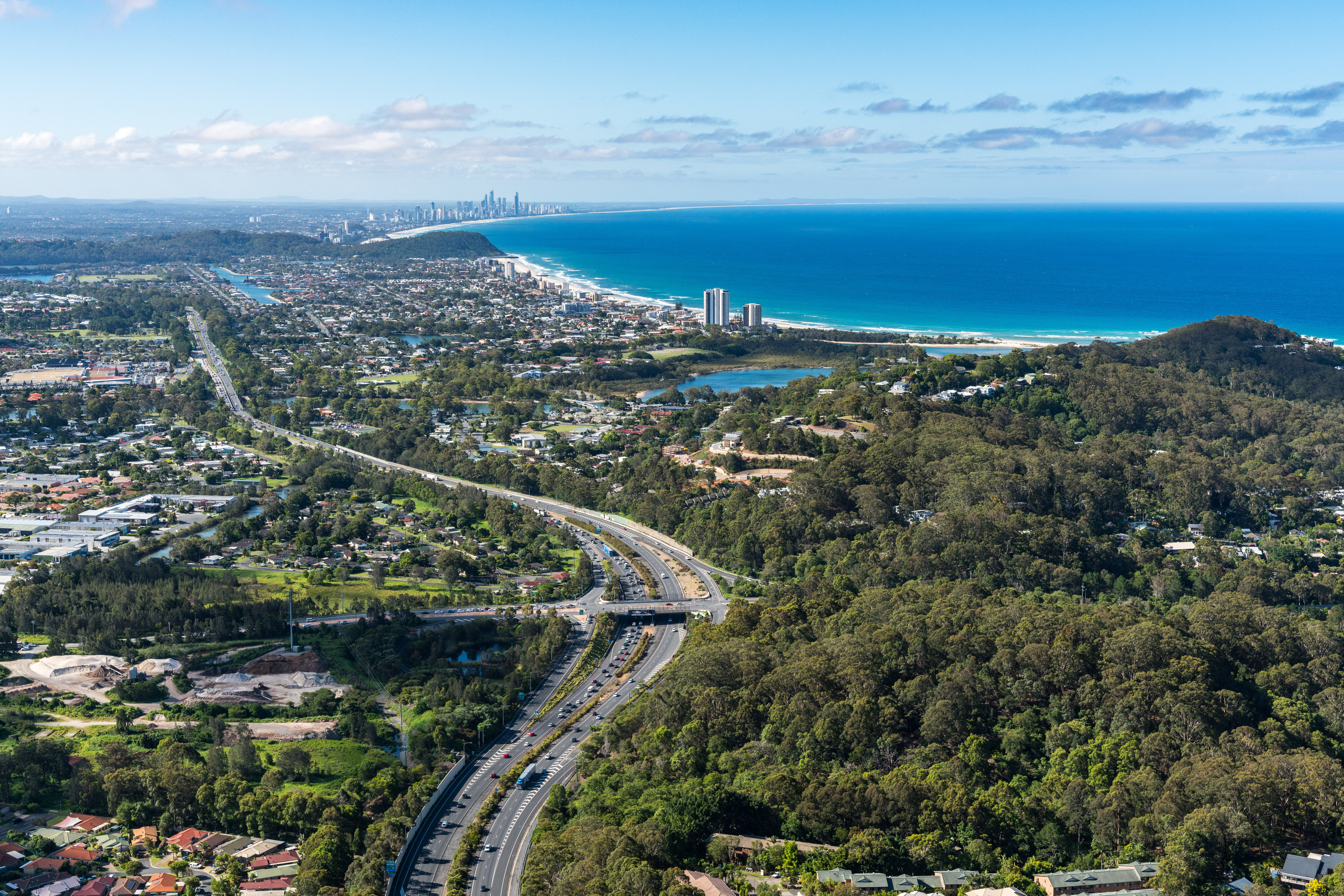
The Gold Coast Light Rail system is being designed to be delivered in stages to respond to population growth and Stage 4 will be a 13km extension south of the Light Rail Stage 3, linking Burleigh Heads to Coolangatta via the Gold Coast Airport.
It aims to service important cultural and urban attractions including the Burleigh Head National Park, Palm Beach Village Centre, Currumbin Wildlife Sanctuary, Southern Cross University, Gold Coast Airport and Coolangatta shopping and business precinct.
Planning for the future of the transport network is critical to achieving local, state and federal planning targets as set out in:
- City of Gold Coast's Gold Coast City Transport Strategy 2031
- The Queensland Government’s Shaping SEQ Regional Plan and Regional Transport Plan
- The Australian Government's Smart Cities Plan
Benefits
- Improves network efficiency
- Contributes to economy
- Contributes to regional growth
- Better active transport
- Reduces peak hour congestion
- Reduces travel time
- Accessibility
Key features
- 13km extension from Burleigh Heads to Coolangatta via the Gold Coast Airport.
- 14 stations.
- A new stabling facility and satellite depot.
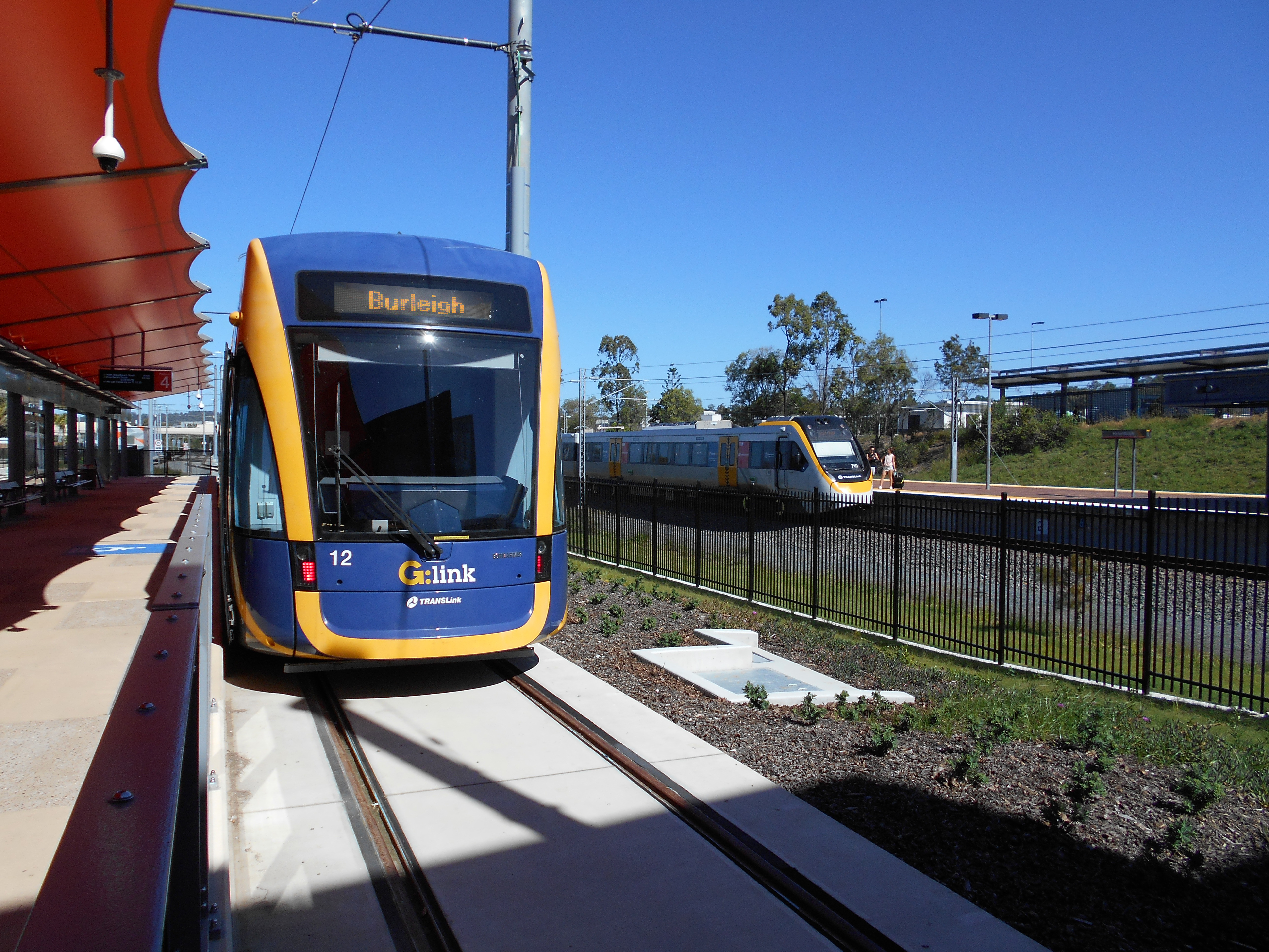
- 8 new trams compatible with current operations.
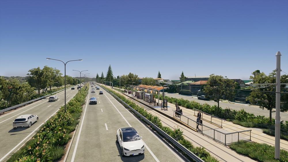
- 2 northbound and southbound traffic lanes on the Gold Coast Highway will be maintained.
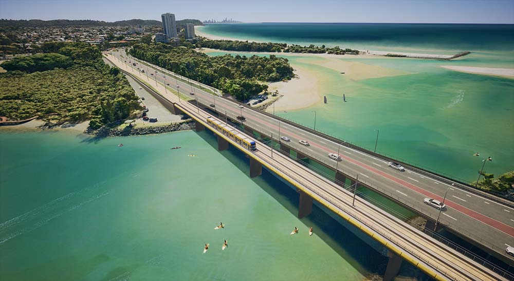
- Right-of-way for the light rail vehicles along the full corridor with new bridges over Tallebudgera Creek and Currumbin Creek.
- Improved connectivity to the M1.
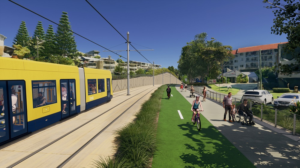
- Improved active transport - bicycle and pedestrian - facilities including dedicated bridges, a potential beachfront oceanway path, and enhancements to road and intersections for safety and efficiency.
- The project aims to preserve and improve access to the Burleigh Head National Park and enhance ecological corridors by providing wildlife bridges.
- Redesigned bus network to improve connectivity and accessibility to the light rail.
Funding
The project is jointly funded by the Queensland Government and Gold Coast City Council. Investment ID 1748742. The Queensland Government and Gold Coast City Council are undertaking planning activities together and procuring individual contracts within this joint funding.
- Total investment
- $30 million
- Queensland Government
- $15 million
- Local government
- $15 million
Current status
Work on the detailed business case has commenced and is expected to be completed in late 2025.
The preliminary business case for Light Rail Stage 4 has been completed and the cost estimate for Light Rail is $4.467 billion. To note, this is a strategic cost estimate only at the early planning stage. The cost range for delivery of the project is estimated between $3.13 billion and $7.60 billion allowing for unknown risks which will be further clarified and updated in the detailed business case.
View the summary report – Burleigh Heads to Coolangatta Public Transport Project, Preliminary Evaluation. For alternative accessible formats, email gclr4@tmr.qld.gov.au.
Burleigh Heads to Tugun
We have approved corridor planning for the upgrade of the Gold Coast Highway through Palm Beach. Since 2003, we have been protecting the corridor against encroachment of development by conditioning building setbacks to allow for a future upgrade. Much of the corridor is protected under this scheme. The Gold Coast Highway (Burleigh Heads to Tugun) Multi-modal Corridor Study investigated whether existing planning will be adequate to accommodate the objectives of Shaping SEQ and the Gold Coast City Transport Strategy 2031, while balancing other considerations including current and future transport demands and the benefits and capacity gained from the M1 (Varsity Lakes to Tugun) upgrade.
For more information, download and read the:
- Gold Coast Highway (Burleigh Heads to Tugun) Multi-modal Corridor Study Executive Summary
- Gold Coast Highway (Burleigh Heads to Tugun) Multi-modal Corridor Study
- Project newsletter for more information about the study.
Community consultation on the findings from the study was undertaken in March/April 2020. Read the Multi-modal Corridor Study community consultation summary for more information.
Tugun to Coolangatta
The Gold Coast Highway (Tugun to Coolangatta) Multi-modal Corridor Study was completed in June 2022. The study builds on the work completed for the Burleigh Heads to Tugun section and considered all transport modes to determine the preferred function for the next 20 years.
The study investigated alternative routes, finding the preferred route for a light rail extension to the Gold Coast Airport is along the eastern side of the Gold Coast Highway. The preferred route into Coolangatta is via Coolangatta Road and the Lanham Street Park to a station on Chalk Street. This is the most direct and efficient route.
View the Gold Coast Highway (Tugun to Coolangatta) Multi-modal Corridor Study publication set.
Consultation
Community engagement on Gold Coast Light Rail Stage 4 took place in alignment with the progress of the corridor studies.
Burleigh Heads to Tugun section
Community consultation on the Burleigh Heads to Tugun section was carried out from 12 July to 17 September 2021.
Download the Burleigh Heads to Tugun Community Consultation Summary (PDF, 3.3 MB) to find out more.
For more information regarding the Burleigh Heads to Tugun section of the project, please download the:- Project newsletter (PDF, 937 KB)
- Why light rail factsheet (PDF, 187 KB)
- Traffic and transport factsheet (PDF, 157 KB)
- Environment and cultural heritage factsheet (PDF, 161 KB)
- Light rail route selection factsheet (PDF, 502 KB)
- Active transport and community factsheet (PDF, 151 KB)
- Concept design plans (PDF, 7.9 MB)
Or you can watch our flythrough video – Burleigh Heads to Tugun
Tugun to Coolangatta section
Community consultation on the Tugun to Coolangatta (via the airport) section was carried out from 31 October to 25 November 2022.
For more information regarding the Tugun to Coolangatta section of the project, please download the:
- Project newsletter (PDF, 937 KB)
- Why light rail factsheet (PDF, 187 KB)
- Traffic and transport factsheet (PDF, 157 KB)
- Environment and cultural heritage factsheet (PDF, 161 KB)
- Light rail route selection factsheet (PDF, 502 KB)
- Community engagement factsheet (PDF, 177 KB)
- Concept design plans (PDF, 3.8 MB)
Or you can watch our flythrough video – Tugun to Coolangatta
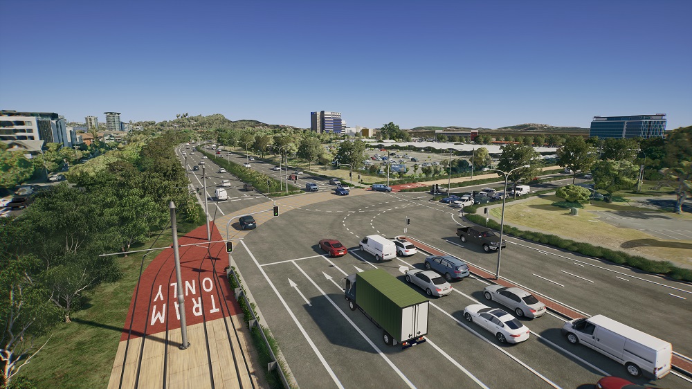
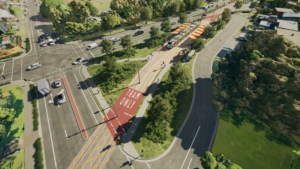
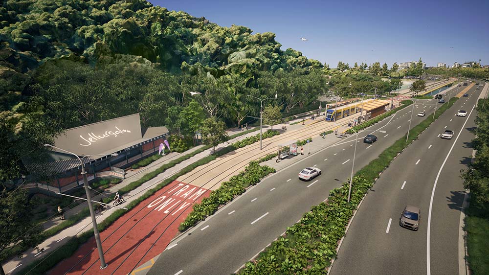
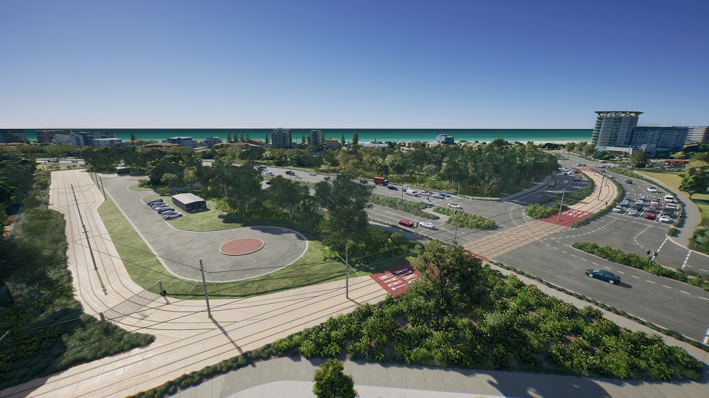
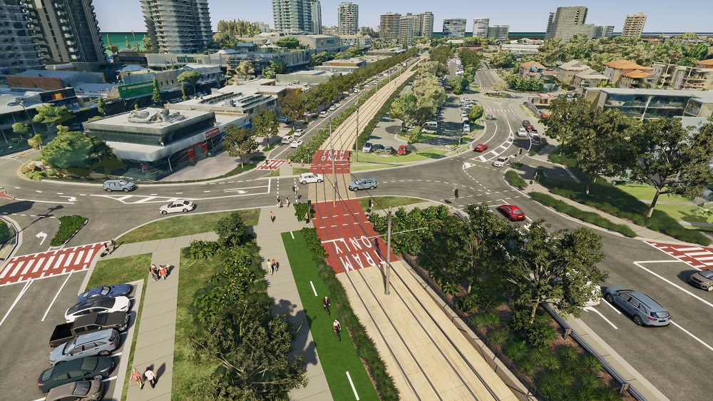
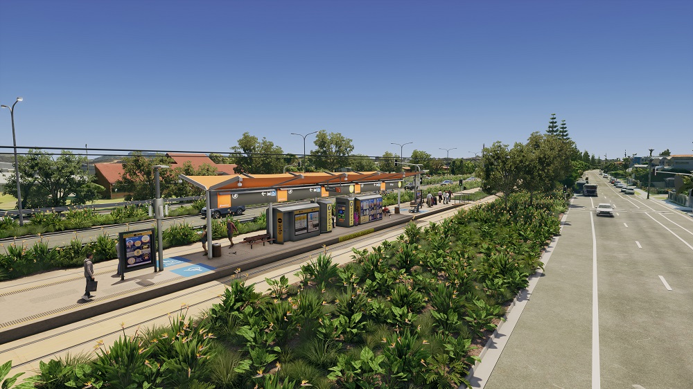
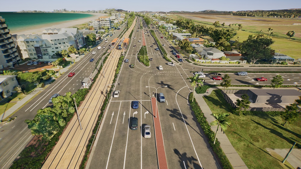
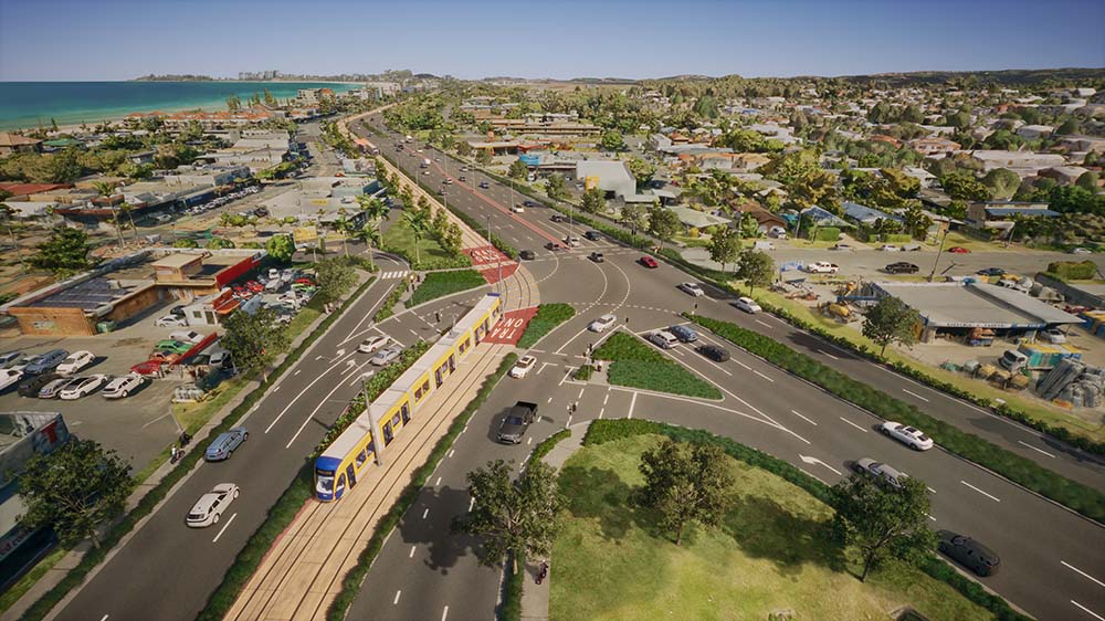
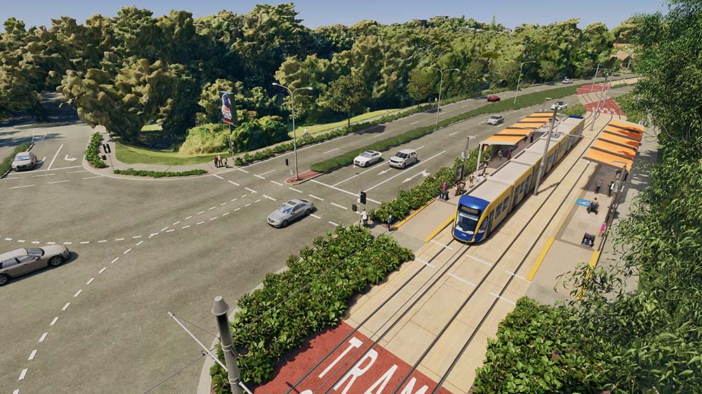
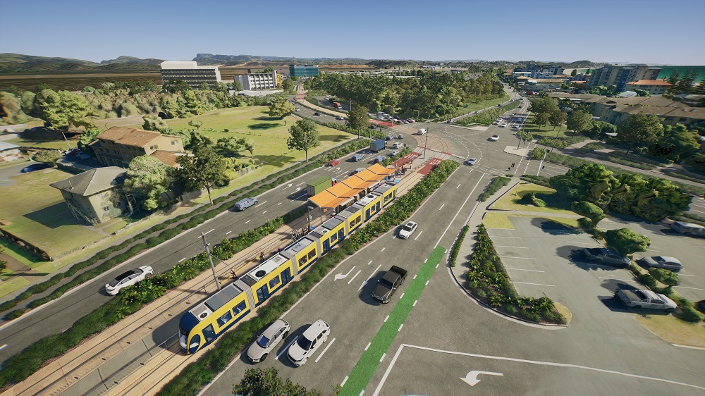
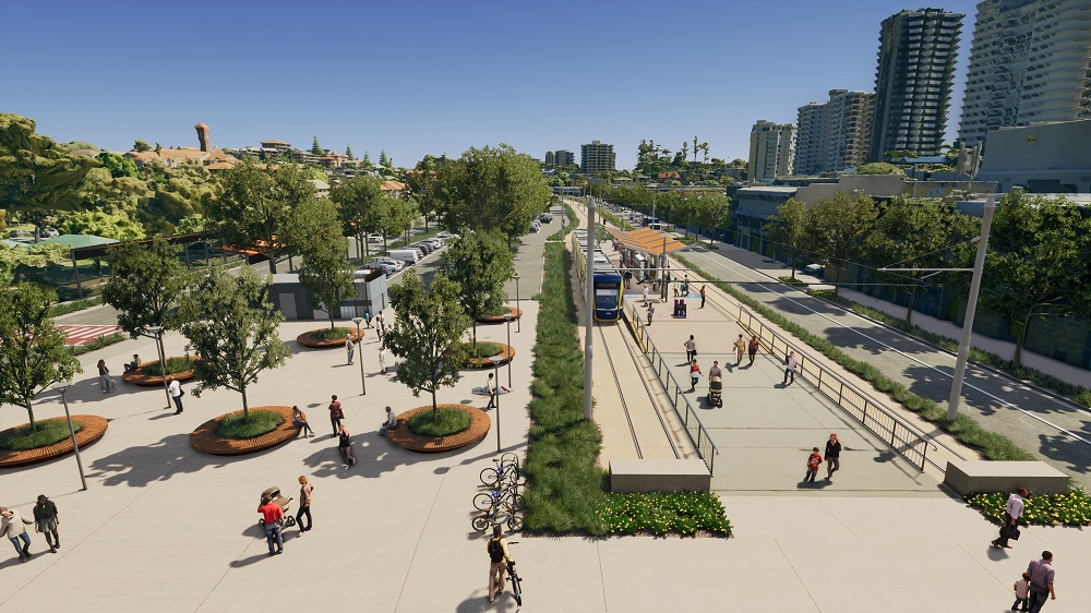
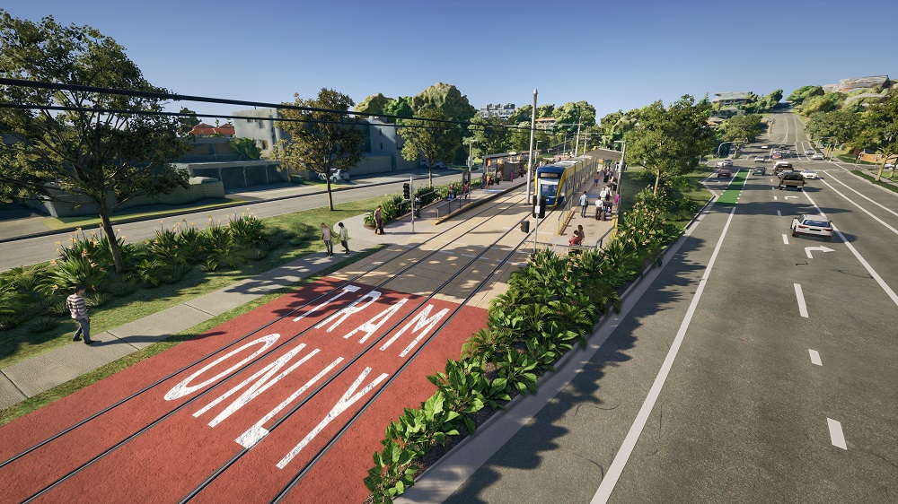
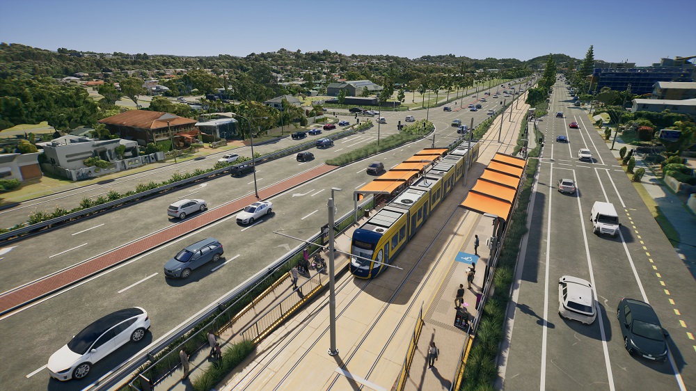
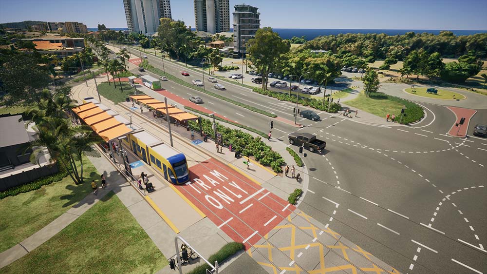
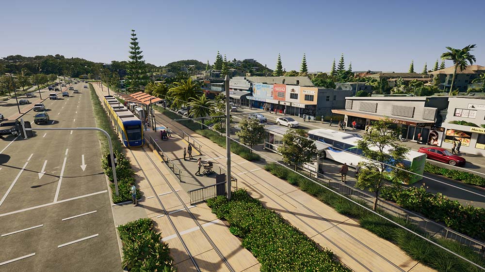
Concept designs, artist's impressions and the flythrough video were created for past consultation. These will be updated during the detailed planning stage before future consultation.
Image gallery of the project's artist impressions
To view a larger version, please click on the image.
