Queensland

282 Projects in Queensland showing 101-120

Filter projects

Filters

Status
Status
Programs
Programs
Type
Type
Reset
  1. D'Aguilar Highway (Yarraman – Kingaroy), various locations, improve safety

    D'Aguilar Highway safety improvements – Nanango to Kingaroy...

    • Southern Queensland Region
    • Targeted Road Safety Program
    No image supplied
  2. D'Aguilar Highway network safety planning

    The Queensland Government is investigating ways to improve safety for motorists on the D’Aguilar Highway between Nukku Road at Gilla and Tarong Power Station Road at Tarong (in the Toowoomba Region)...

    • Southern Queensland Region
    • Transport System Planning Program
    No image supplied
  3. Dayboro Road link study

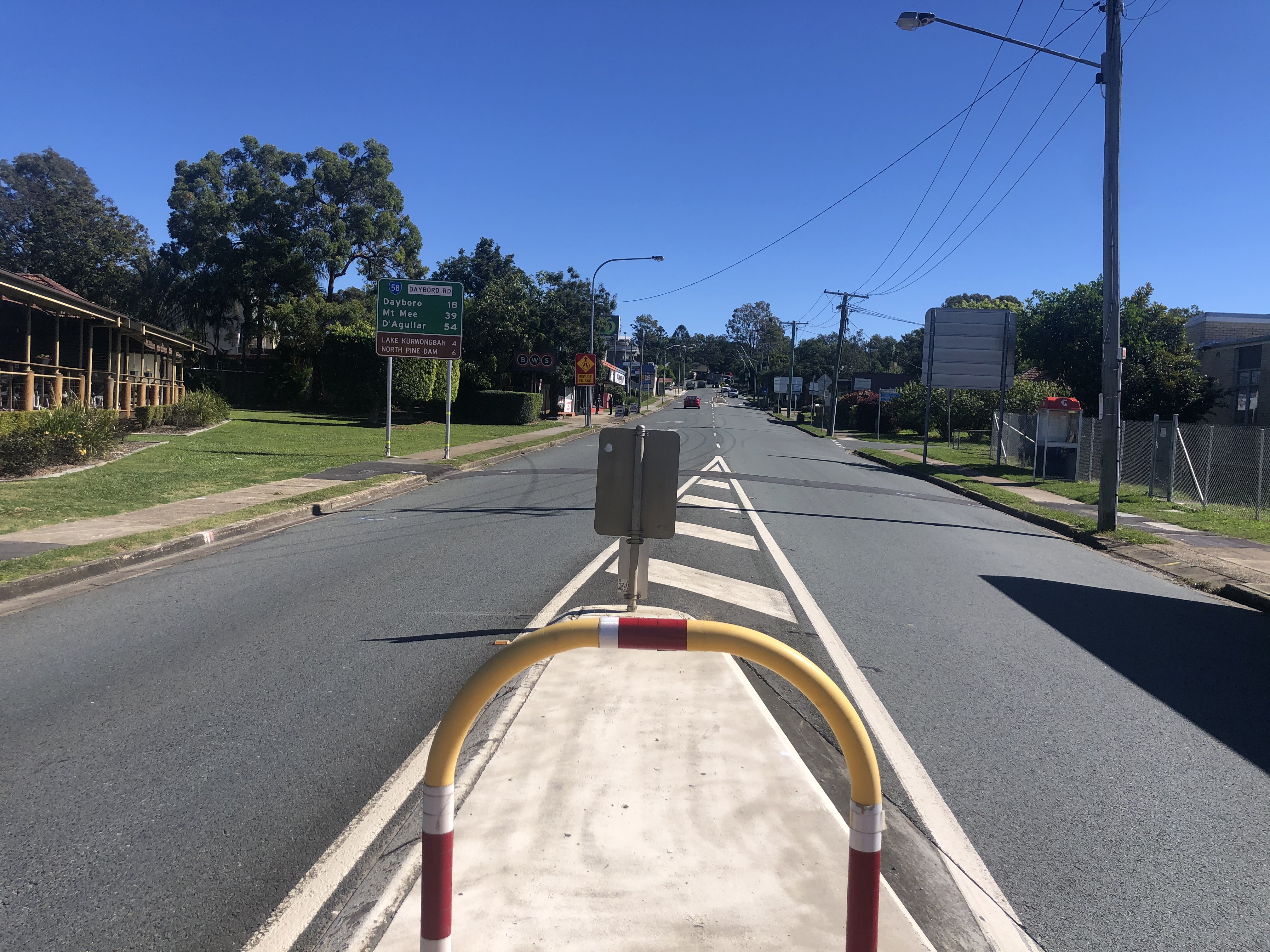
    Planning is underway to develop a long-term vision for the future of Brisbane-Woodford Road (known as Dayboro Road) between Gympie Road and Youngs Crossing Road...
    • North Coast Region
    • Transport System Planning Program
    View of Dayboro Road looking south
  4. Deception Bay Road, Bruce Highway to Park Road, duplication planning

    Planning is now underway for the Deception Bay Road duplication project, which will aim to improve safety, transport efficiency and accommodate future demand on the road's last remaining two-lane link...

    • North Coast Region
    No image supplied
  5. Deception Bay, Bay Avenue and Moreton Downs Drive intersection, safety improvements

    We will be improving safety at the Deception Bay, Bay Avenue and Moreton Downs Drive intersection, Deception Bay. The project is being delivered as part of TMR’s Targeted Road Safety Program...

    • North Coast Region
    • Targeted Road Safety Program
    No image supplied
  6. Diamantina Developmental Road (Dajarra – Mount Isa and Quilpie – Windorah), package of safety improvements

    A program of works including 3 targeted upgrade projects are being delivered on the Diamantina Developmental Road (Dajarra – Mount Isa) to improve safety, travel times and reliability for all road...

    • Central Queensland Region
    No image supplied
  7. Dinmore station park 'n' ride upgrade

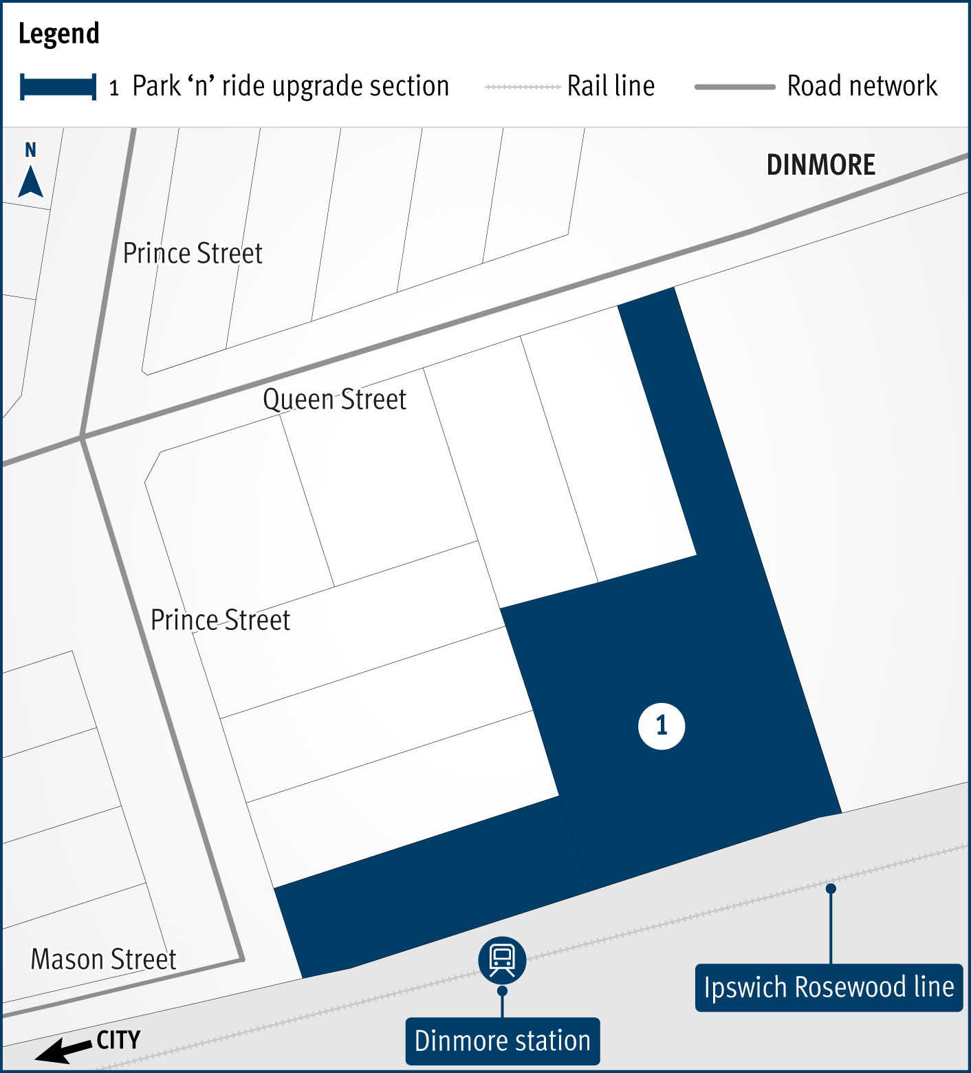
    A planning study is underway to upgrade and expand the Dinmore station park 'n' ride...
    • Metropolitan Region
    • Transport System Planning Program
    Dinmore station park 'n' ride upgrade project map
  8. Dunwich (Gumpi) Ferry Terminal Upgrade

    Planning is progressing to improve access and provide a unique sense of arrival to North Stradbroke Island (Minjerribah) by upgrading the ferry terminal at Junner Street, Dunwich (Gumpi)...

    • Metropolitan Region
    No image supplied
  9. East-West Link, Aura Boulevard to Pelican Waters Boulevard, planning

    The department is planning for a future road connecting Aura Boulevard to Pelican Waters Boulevard in Caloundra West...

    • North Coast Region
    • Caloundra Congestion Busting Plan
    No image supplied
  10. Eastern Transitway (Stage 1), bus priority works

    The Eastern Transitway will provide bus customers in Brisbane's east with a safer and more efficient public transport network. The project will deliver targeted bus priority measures to improve safety...

    • Metropolitan Region
    Eastern Transitway
  11. Edens Landing station precinct upgrade

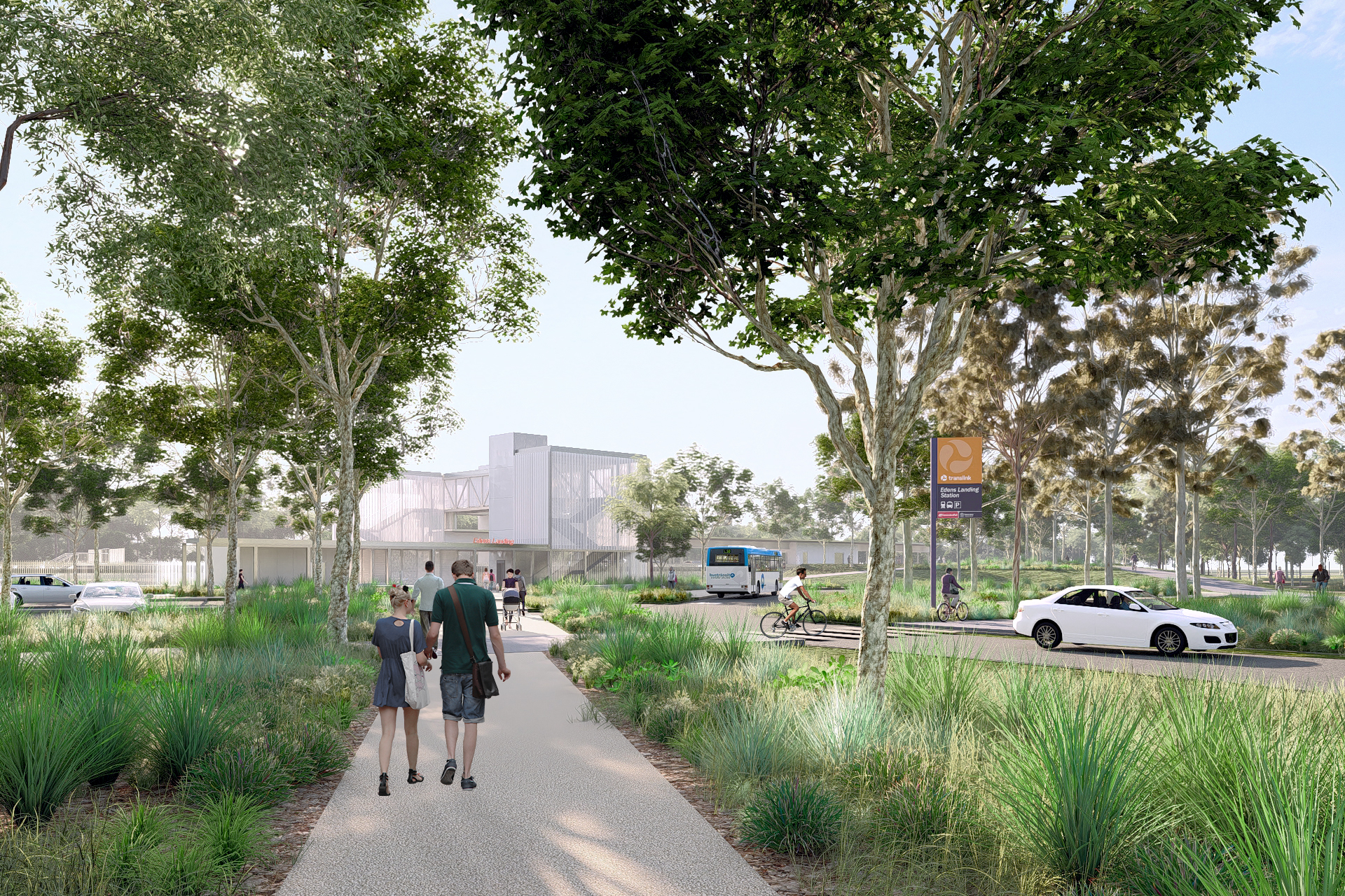
    We're upgrading the Edens Landing train station to improve accessibility, safety, and overall customer experience as part of the Logan and Gold Coast Faster Rail project...
    • South Coast Region
    People walking along a path with the Edens landing station in the background.
  12. European Train Control System—Beenleigh to Varsity Lakes

    ETCS is a railway digital signalling system and is currently being installed as part of Cross River Rail (CRR) and south to Moorooka as well as between Beenleigh and Varsity Lakes...

    • European Train Control System Program
    No image supplied
  13. Far North Queensland disaster recovery works

    Repairs are underway across Far North Queensland after extensive, severe damage to the state-controlled road network was caused by record rainfall as a result of Tropical Cyclone Jasper in December...

    • North Queensland Region
    • Natural Disaster Program
    Aerial image of Kuranda Range Road, showing large green trees and a curved road which has temporary stabilisation repairs following a major landslip on the side of the road.
  14. Flood resilience works

    Improving the flood immunity and resilience of the state-controlled road network at 27 priority sites...

    • Natural Disaster Program
    • Metropolitan Region
    • South Coast Region
    • Central Queensland Region
    • Southern Queensland Region
    • North Queensland Region
    Concreate slab on the side of a road with a drainage to help prevent flooding.
  15. Fraser Coast integrated transport strategy, planning

    The department and Fraser Coast Regional Council are working together to identify future transport initiatives in the Fraser Coast local government area to enhance movement to, from, and within the...

    • Southern Queensland Region
    • Transport System Planning Program
  16. Garbutt - Upper Ross Road (Riverway Drive) (Stage 2), Allambie Lane to Dunlop Street, duplicate to four lanes

    The Riverway Drive Stage 2 project will improve the safety, capacity and efficiency of Riverway Drive between Allambie Lane and Dunlop Street in Kelso, Townsville...

    • North Queensland Region
    • State Road Network Upgrade
    No image supplied
  17. Garbutt-Upper Ross Road, Halliday Street to Gouldian Avenue, improve safety

    We are undertaking safety improvement works at various locations across Garbutt – Upper Ross Road (locally known as Thuringowa Drive and Riverway Drive) from the Halliday Street/Thuringowa Drive...

    • North Queensland Region
    • High Risk Roads Targeted Road Safety Program
    No image supplied
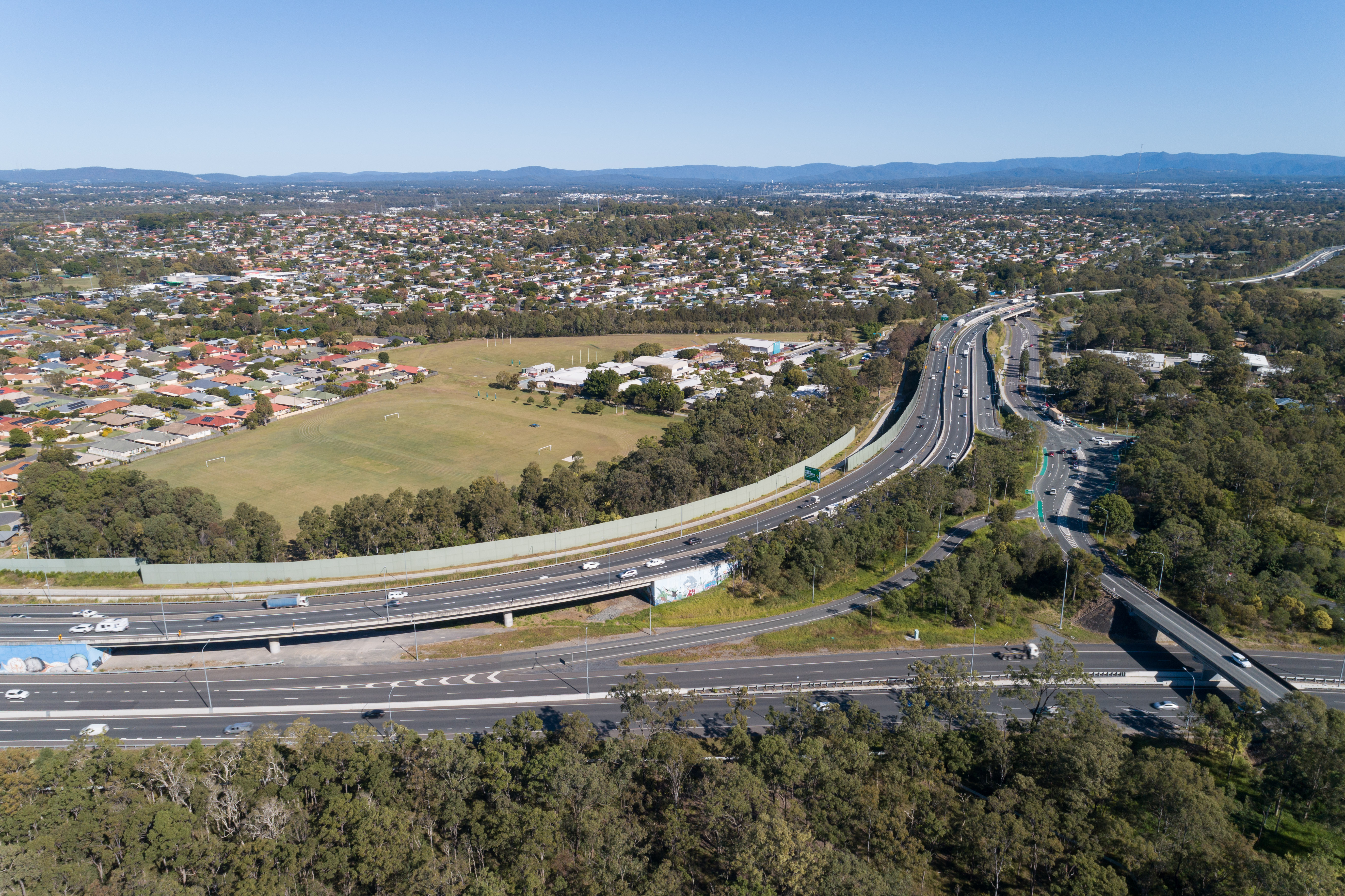
  18. Gateway Motorway, Bracken Ridge to Pine River upgrade

    We are undertaking integrated planning for the Gateway Motorway and Bruce Highway Upgrades in north Brisbane and the Moreton Bay Region...
    • Metropolitan Region
    • Gateway Motorway and Bruce Highway Upgrades
    Aerial view of roads, cars, trees and houses
  19. Gatton-Helidon Road (Spencer Street) and William Street intersection, improve safety

    This project involves designing safety improvements for the Gatton-Helidon Road (Spencer Street) and William Street intersection to reduce the risk of crashes...

    • Southern Queensland Region
    No image supplied
  20. Gatton–Clifton Road maintenance, Mount Whitestone

    We are monitoring large slow-moving landslide affecting a section of Gatton–Clifton Road at Mount Whitestone and maintenance is underway...

    • Southern Queensland Region
    No image supplied

Last updated: 19 July 2024