Darling Downs District

30 Projects in Darling Downs District showing 1-20

Filter projects

Filters

Status
Status
Programs
Programs
Type
Type
Reset
  1. Bunya Highway (Dalby – Kingaroy) and Patrick Street, upgrade intersection

    This project will investigate safety improvements for the Bunya Highway and Patrick Street intersection to reduce the risk of crashes...

    • Southern Queensland Region
    No image supplied
  2. Cunningham Highway (Ipswich – Warwick), Tregony to Maryvale, improve safety

    The is delivering safety improvements for a four-kilometre section of the Cunningham Highway between Tregony and Maryvale...

    • Southern Queensland Region
    No image supplied
  3. Cunningham Highway (Warwick – Inglewood), improve safety

    Planning is underway to make the Cunningham Highway safer between Warwick and Inglewood...

    • Southern Queensland Region
    No image supplied
  4. D'Aguilar Highway network safety planning

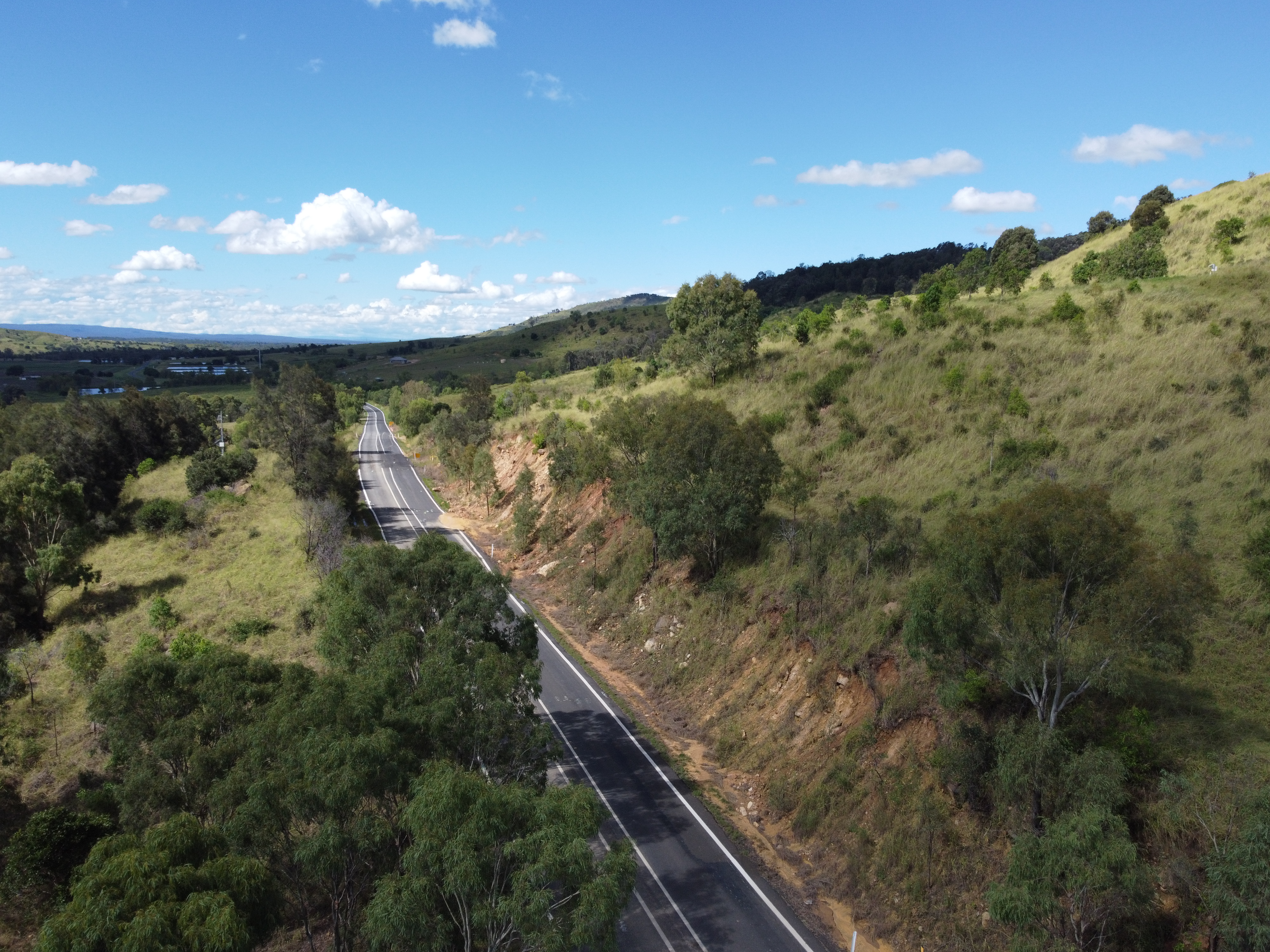
    The Queensland Government is investigating ways to improve safety for motorists on the D’Aguilar Highway between Nukku Road at Gilla and Tarong Power Station Road at Tarong (in the Toowoomba Region)...

    • Southern Queensland Region
    • Transport System Planning Program
    No image supplied
  5. Esk-Hampton Road, Perseverance Creek, replace culvert

    This project will replace a failing culvert on Esk- Hampton Road at Perseverance Creek...

    • Southern Queensland Region
    No image supplied
  6. Gatton-Helidon Road (Spencer Street) and William Street intersection, improve safety

    This project involves designing safety improvements for the Gatton-Helidon Road (Spencer Street) and William Street intersection to reduce the risk of crashes...

    • Southern Queensland Region
    No image supplied
  7. Gatton–Clifton Road maintenance, Mount Whitestone

    We are monitoring large slow-moving landslide affecting a section of Gatton–Clifton Road at Mount Whitestone and maintenance is underway...

    • Southern Queensland Region
    No image supplied
  8. Gatton–Clifton Road planning, Mount Whitestone

    The Mount Whitestone business case is investigating options to permanently realign Gatton–Clifton Road between Dry Creek Bridge and Ma Ma Creek Bridge...

    • Southern Queensland Region
    Gatton–Clifton Road Realignment Planning, Mount Whitestone location
  9. Gatton–Esk Road, flood resilience, planning

    Planning is underway to improve the flood immunity of Gatton–Esk Road, including at Lockyer Creek...

    • Southern Queensland Region
    • Transport System Planning Program
    No image supplied
  10. Gatton–Helidon Road, improve safety

    Construction is underway to improve safety on Gatton–Helidon Road...

    • Southern Queensland Region
    • Targeted Road Safety Program
    No image supplied
  11. Gore Highway (Millmerran – Goondiwindi), Wyaga Creek, upgrade floodway

    A new bridge at Wyaga Creek on the Gore Highway will improve flood immunity, safety and efficiency on one of Queensland's most important transport links...

    • Southern Queensland Region
    No image supplied
  12. Gore Highway (Millmerran – Goondiwindi), improve safety

    This project will apply a range of safety improvements along the Gore Highway, between Millmerran and Goondiwindi, to reduce the risk of fatigue-related crashes...

    • Southern Queensland Region
    No image supplied
  13. Gore Highway (Toowoomba – Millmerran) and Toowoomba–Athol Road, improve safety

    Safety improvements aim to create a better experience for road users on the Gore Highway (Toowoomba – Millmerran) and Toowoomba–Athol Road...

    • Southern Queensland Region
    • Targeted Road Safety Program
    No image supplied
  14. New England Highway (Toowoomba - Warwick), improve safety

    The project involves investigating safety improvements on sections of the New England Highway between Steele Rudd Road, East Greenmount, and the Cunningham Highway intersection at Eight Mile, located...

    • Southern Queensland Region
    No image supplied
  15. New England Highway (Yarraman - Toowoomba) Network Safety Planning

    The planning project is investigating future road infrastructure requirements to provide a better driving experience for all road users and reduce the risk of fatal and serious injury crashes...

    • Southern Queensland Region
    No image supplied
  16. New England Highway (Yarraman - Toowoomba), Back Creek Bridge, upgrade bridge and approaches, design

    Community feedback is being sought to plan improvements to the New England Highway at Cooyar...

    • Southern Queensland Region
    No image supplied
  17. New England Highway (Yarraman – Toowoomba), Chalk Drive, Neil Street and Ruthven Street intersections, improve active transport facilities

    Design is underway to improve safety for people walking and bike riding when crossing at the Chalk Drive, Ruthven and Victoria streets intersection and the Chalk Drive and Neil Street intersection, in...

    • Southern Queensland Region
    • Active Transport Investment Program
    No image supplied
  18. New England Highway Bikeway, Highfields to Toowoomba CBD (Stages 1, 2 and 3)

    The Highfields Bikeway project involves delivering a bikeway connecting Highfields to Toowoomba to provide a safer and more accessible active transport option...

    • Southern Queensland Region
    • Active Transport Investment Program
    Bikeway between Mitchell Road and Toowoomba Christian College.
  19. Next Generation Traffic Signalling Program

    The Next Generation Traffic Signalling Program involves the rollout of new traffic signal controllers to replace the existing controllers...

    • Central Queensland Region
    • Metropolitan Region
    • North Coast Region
    • North Queensland Region
    • South Coast Region
    • Southern Queensland Region
    No image supplied
  20. Southern Queensland 2022 flood reconstruction works completed

    Repairs are underway across South East Queensland after extensive and severe flooding was caused by sustained heavy rainfall in late February 2022...

    • Metropolitan Region
    • North Coast Region
    • South Coast Region
    • Southern Queensland Region
    • Natural Disaster Program
    Landslip on Gold Coast - Springbrook Road
Previous Page (disabled)
  1. Page 1
  2. Page 2

Last updated: 5 March 2026