Far North Queensland District

20 Projects in Far North Queensland District

Filter projects

Filters

Status
Status
Programs
Programs
Type
Type
Reset
  1. Bruce Highway (Ingham – Innisfail), Smiths Gap, construct southbound overtaking lane and fauna overpass

    The Department of Transport and Main Roads is progressing a project to build a southbound overtaking lane at Smiths Gap on the Bruce Highway. The project will include the construction of a fauna...

    No image supplied
  2. Bruce Highway (Innisfail - Cairns), Innisfail Bypass, plan and preserve corridor

    A planning study is currently being undertaken to identify and preserve a corridor for a future bypass of Innisfail...

    No image supplied
  3. Bruce Highway (Innisfail – Cairns) and Munro street (Babinda) intersection upgrade

    We are progressing a project to upgrade the intersection of the Bruce Highway and Munro Street at Babinda...

    No image supplied
  4. Bruce Highway (Pine River - Cairns), Road Operations Improvements

    This project will provide Intelligent Transport System infrastructure at various locations along the Bruce Highway to achieve the project vision of sharing of real time situational awareness with road...

    No image supplied
  5. Bruce Highway, Cairns Southern Access Corridor (Stage 3), Edmonton to Gordonvale

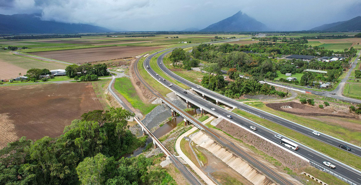
    A 10.5km upgrade and duplication of the Bruce Highway between Edmonton and Gordonvale is being delivered. The project is Stage 3 of the Cairns Bruce Highway Upgrade Master Plan released in 2010...

    John Davies Bridge, Bruce Highway, between Edmonton to Gordonvale
  6. Bruce Highway, Cairns Southern Access Corridor (Stage 5), Foster Road upgrade intersection

    Planning for the Bruce Highway, Cairns Southern Access Corridor, (Stage 5) Foster Road upgrade intersection project will assess and recommend options to upgrade this intersection...

    No image supplied
  7. Cairns Bruce Highway Upgrade master plan

    The Cairns Bruce Highway Upgrade master plan was released in 2010. It was the result of a planning study that investigated long term, multi-modal transport planning options to address the impacts of...

    No image supplied
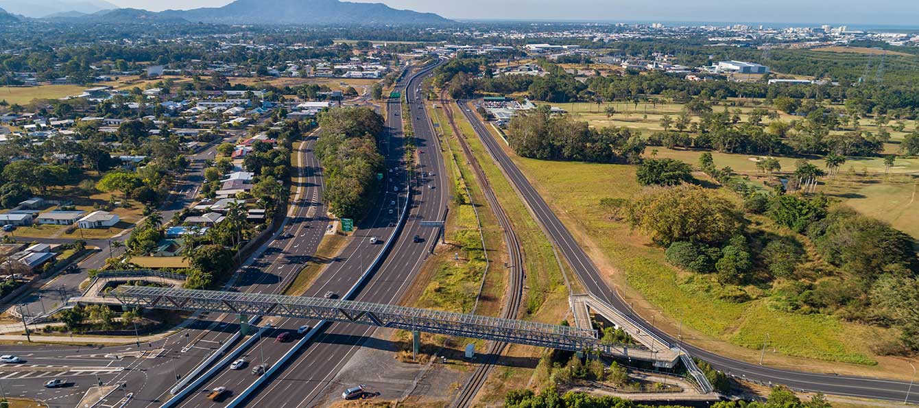
  8. Cairns Southern Access Cycleway, construct cycleway

    We are reinvesting project savings to deliver a new off-road cycleway adjacent to the Bruce Highway consistent with the Cairns Bruce Highway Upgrade Masterplan...

    Cairns Southern Access Cycleway
  9. Cairns Transit Network

    We have commenced planning for a new transit network for Cairns. This planning includes building a network to deliver dedicated public transport spines that will connect the length and breadth of...

    No image supplied
  10. Cairns Transport Study, planning

    The Cairns Transport Study will develop a strategy for the Cairns transport network that supports sustainable, efficient, equitable and affordable transport outcomes consistent with economic, social...

    No image supplied
  11. Cairns Western Arterial Road, Redlynch Connector Road to Captain Cook Highway, duplication

    The department is undertaking a $300 million project is being undertaken to duplicate the Cairns Western Arterial Road between Redlynch Connector Road and Captain Cook Highway...

    Concept design map
  12. Cairns to Northern Tablelands Access Strategy

    We are undertaking a $1.25 million planning study to look at improving the capacity and efficiency of transport routes between Cairns and the Northern Tablelands...

    No image supplied
  13. Cape York Region Package Stage 2

    Cape York Regional Package Stage 2 is a $237.5 million program of works to deliver road infrastructure upgrades on Cape York Peninsula between 2019-2020 and 2023-2024...

    No image supplied
  14. Captain Cook Highway, Cairns CBD to Smithfield, Upgrade

    We are progressing the planning for a $359 million program of road upgrades on Captain Cook Highway between Cairns and Smithfield...

    No image supplied
  15. Far North Queensland 2024 cyclone reconstruction works

    Repairs are underway across Far North Queensland after extensive, severe damage to the state-controlled road network was caused by record rainfall as a result of Tropical Cyclone Jasper in December...

    Aerial image of Kuranda Range Road, showing large green trees and a curved road which has temporary stabilisation repairs following a major landslip on the side of the road.
  16. Kennedy Highway (Cairns - Mareeba), Barron River bridge upgrade, planning

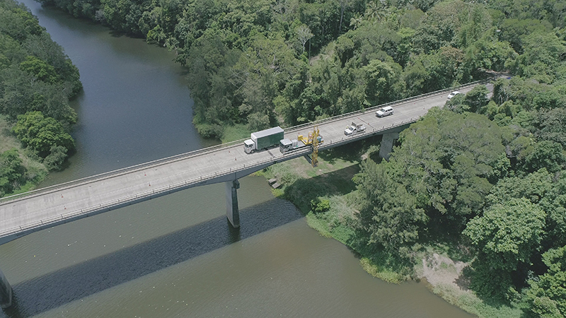
    The Barron River bridge planning project will investigate long-term solutions for the bridge near Kuranda...

    Thumbnail image of bride and inspection unit
  17. Kennedy Highway (Cairns - Mareeba), Kuranda Range, Intelligent Transport System

    Installation of additional Intelligent Transport Systems (ITS) treatments on Kuranda Range Road has been completed...

  18. Kuranda Range Road safety and resilience upgrades

    The Department of Transport and Main Roads is investigating and prioritising safety and resilience upgrades for Kuranda Range Road...

    No image supplied
  19. Mareeba – Dimbulah Road, Mareeba Heavy Vehicle Bypass, planning

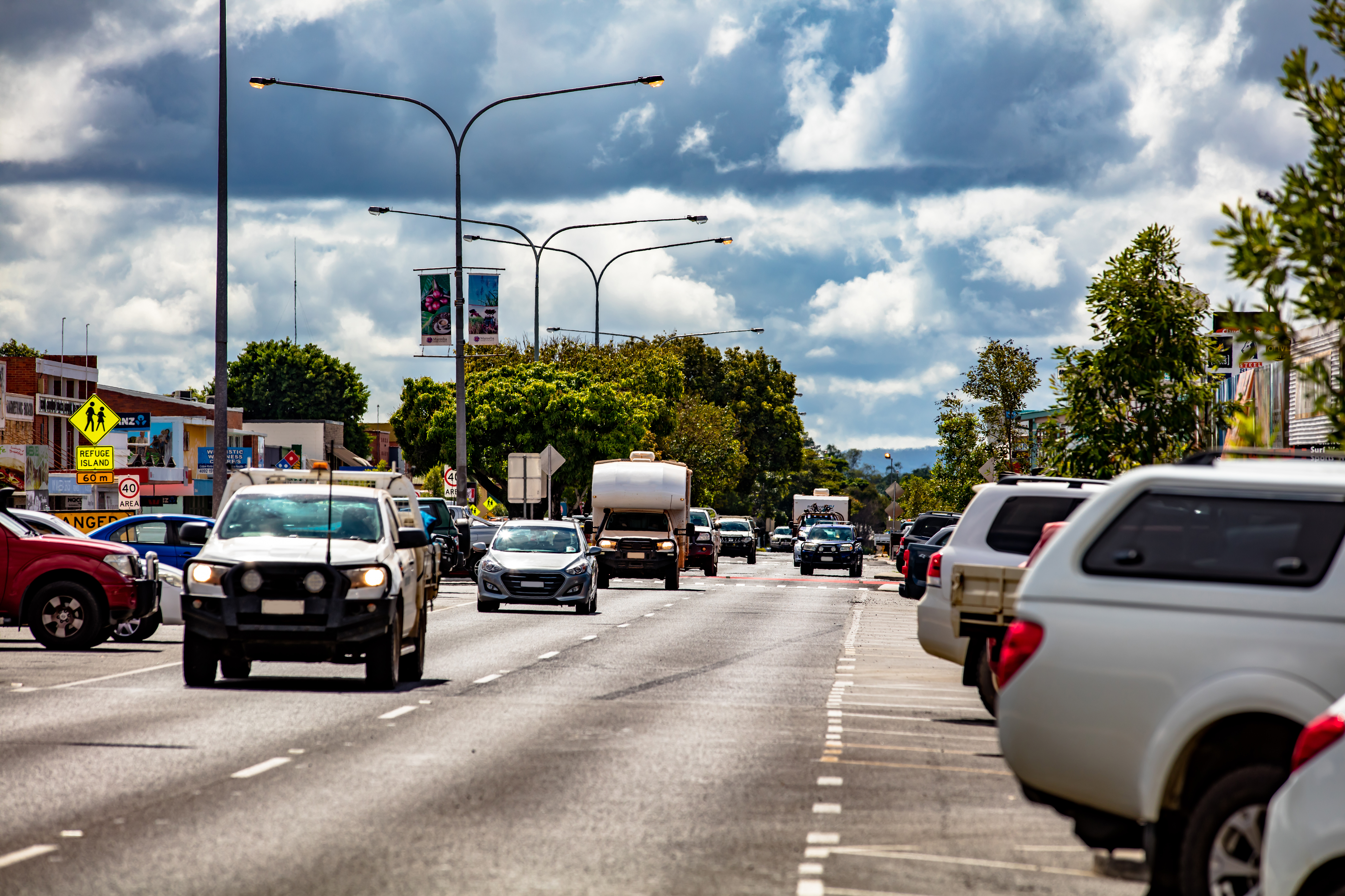
    This project will complete planning for the southern section of the Mareeba Bypass and review the alignment of the northern section...

    Vehicles travelling along Mareeba–Dimbulah Road locally known as Byrnes Street
  20. Yorkeys Knob—boat ramp

    We are constructing a new recreational boat launching facility at Yorkeys Knob...

    No image supplied