


Mackay Ring Road
The Mackay Ring Road to Bald Hill Road Connection Project delivers a significant upgrade to the Brue Highway.
Completed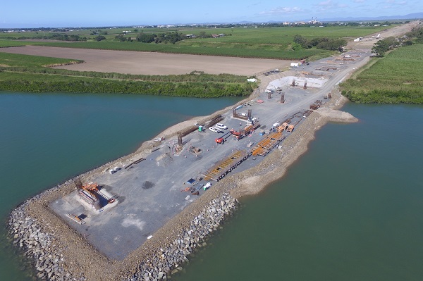
The Mackay Ring Road to Bald Hill Road Connection Project delivers a significant upgrade to the Brue Highway.
Completed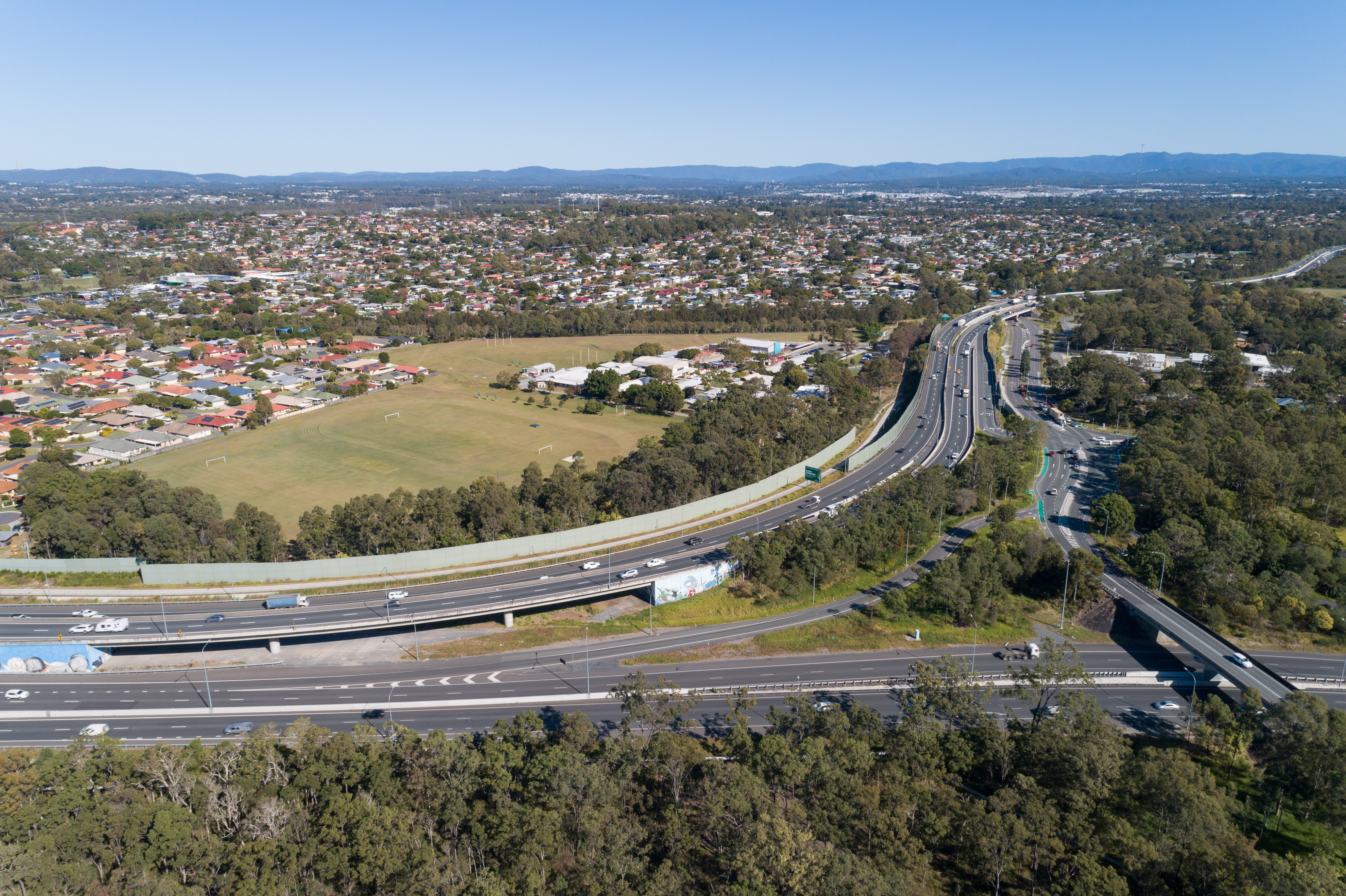
The Queensland Government is delivering major upgrades where the Gateway Motorway joins the Bruce Highway south of the Pine River in north Brisbane.
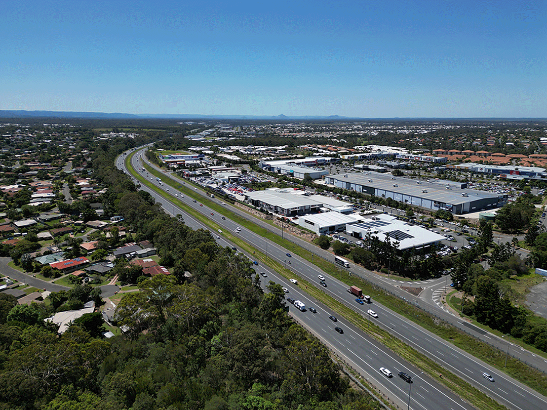
The Queensland Government is committed to improving the 1,671.3km Bruce Highway from Pine River to Cairns, focusing on capacity, safety, and flood resilience.
One of the key priorities of the Queensland Government is to deliver a long-term upgrade plan for the Bruce Highway.
Since July 2013, $10.399 billion in works has been delivered along the Highway, with 8 projects currently under construction, 13 in development and 13 in planning.
Key outcomes to date include:
The Bruce Highway Upgrade focuses on the 3 priority areas during its 15-year course:
As with any major construction program, there might be delays that could affect travel. It is advised to plan ahead and check for up-to-date details on QLDTraffic ( https://qldtraffic.qld.gov.au/ ) to help you plan your journey.
|
District / Region |
Investment name |
Status |
|
Fitzroy |
Bruce Highway (Rockhampton - St Lawrence), Rockhampton Ring Road, construction |
Construction |
|
Far North |
Cairns Southern Access Cycleway, construct cycleway |
Construction |
|
North Coast |
Bruce Highway (Brisbane - Gympie), Dohles Rocks Road to Anzac Avenue upgrade (Stage 1) |
Construction |
|
Northern |
Bruce Highway (Bowen - Ayr), Burdekin River Bridge, rehabilitation program |
Construction |
|
Fitzroy |
Bruce Highway (Rockhampton - St Lawrence), Pine Mountain Creek to Kooltandra Road intersection, formation widening for wide centre line treatment |
Construction |
|
Mackay/Whitsunday |
Bruce Highway (Mackay - Proserpine), Goorganga, construct overtaking lanes |
Construction |
|
Wide Bay/Burnett |
Bruce Highway (Maryborough - Gin Gin), Buxton Road and BP service station intersection upgrade |
Construction |
|
Wide Bay/Burnett |
Bruce Highway (Gympie - Maryborough), Curra to Gunalda, various locations, improve safety |
Construction |
|
Wide Bay/Burnett |
Bruce Highway (Gympie - Maryborough), Tiaro Bypass, construct four lane bypass |
Development |
|
Northern |
Bruce Highway (Ingham - Innisfail), Ingham-Halifax-Bemerside Road - Cardwell Range, Bruce Highway Safety Package Tranche 2a (W111, W112 & B55) |
Development |
|
Northern |
Bruce Highway (Ingham - Innisfail) and Lannercost Street, upgrade intersection |
Development |
|
Metropolitan |
Linkfield Connection Road, Linkfield Road overpass upgrade |
Development |
|
North Coast |
Bruce Highway (Brisbane - Gympie), Gateway Motorway to Dohles Rocks Road |
Development |
|
Northern |
Bruce Highway (Ingham - Innisfail), Gairloch Floodway, safety improvements |
Development |
|
Mackay/Whitsunday |
Bruce Highway (Mackay - Proserpine), O'Connell River to Proserpine, upgrade flood immunity (Goorganga Floodplain) |
Development |
|
Metropolitan |
Bruce Highway (Brisbane - Gympie), Gateway Motorway to Dohles Rocks Road upgrade (Stage 2) |
Development |
|
Fitzroy |
Bruce Highway (Benaraby ‐ Rockhampton), Various sections, Pavement reconstruction of high priority sections |
Development |
|
Fitzroy |
Bruce Highway (Benaraby ‐ Rockhampton), Gladstone ‐ Mt Larcom Road, intersection upgrade |
Development |
|
Fitzroy |
Bruce Highway (Benaraby ‐ Rockhampton), Gladstone ‐ Mt Larcom Road to Dart Creek Road, Overtaking lanes |
Development |
|
Fitzroy |
Bruce Highway (Benaraby ‐ Rockhampton), South of Marmor, overtaking lanes |
Development |
|
North Coast |
Bruce Highway (Brisbane - Gympie), Redcliffe Road (Anzac Avenue) to Uhlmann Road, construct additional lanes |
Development |
|
Northern |
Bruce Highway (Ingham - Innisfail), Ingham to Cardwell Range Deviation, plan and preserve corridor |
Planning |
|
Northern |
Bruce Highway (Ayr - Townsville), Burdekin Deviation, plan and preserve corridor |
Planning |
|
Far North |
Bruce Highway (Innisfail-Cairns), Innisfail Bypass preserve corridor |
Planning |
|
Fitzroy |
Bruce Highway (Rockhampton - St Lawrence), Bolsover Street, Intersection upgrade |
Planning |
|
Mackay/Whitsunday |
Mackay Port Access, Bruce Highway to Mackay - Slade Point Road (Stage 1) |
Planning |
|
Far North |
Bruce Highway, Cairns Southern Access Corridor (Stage 5), Foster Road, upgrade intersection |
Planning |
|
Statewide |
Bruce Highway Capacity Upgrade Strategy |
Planning |
|
North Coast |
Bruce Highway (Brisbane - Gympie), Buchanan Road to Caboolture - Bribie Island Road upgrade, business case |
Planning |
|
North Coast |
Bruce Highway (Brisbane - Gympie), Uhlmann Road to Buchanan Road upgrade, business case |
Planning |
|
North Coast |
Bruce Highway (Brisbane - Gympie), Redcliffe Road (Anzac Avenue) to Uhlmann Road upgrade, business case |
Planning |
|
Wide Bay/Burnett |
Bruce Highway (Maryborough – Gin Gin), Walker Street intersection improvement, planning & preconstruction |
Planning |
|
Fitzroy |
Bruce Highway (Benaraby - Rockhampton), Gavial - Gracemere Road to Burnett Highway, capacity upgrades |
Planning |
|
Fitzroy |
Bruce Highway (Benaraby ‐ Rockhampton), Bajool, pavement reconstruction |
Planning |
The Australian Government and Queensland Government are investing in planning and design for an upgrade of the Angus Smith Drive roundabout in Douglas.

Planning works are being finalised to upgrade and expand the southern side of the park 'n' ride at Bald Hills station.
We have investigated safety and congestion improvements for the Banyo level crossing precinct.
The department is planning for a future upgrade of the intersection of Beenleigh Connection Road (Logan Street) and City Road.
We released a planning layout for the Beenleigh–Redland Bay Road (California Creek Road to Mount Cotton Road) upgrade.
The Beerburrum to Nambour Rail Upgrade Duplication Study will investigate the long-term infrastructure and operational needs of the North Coast Line.
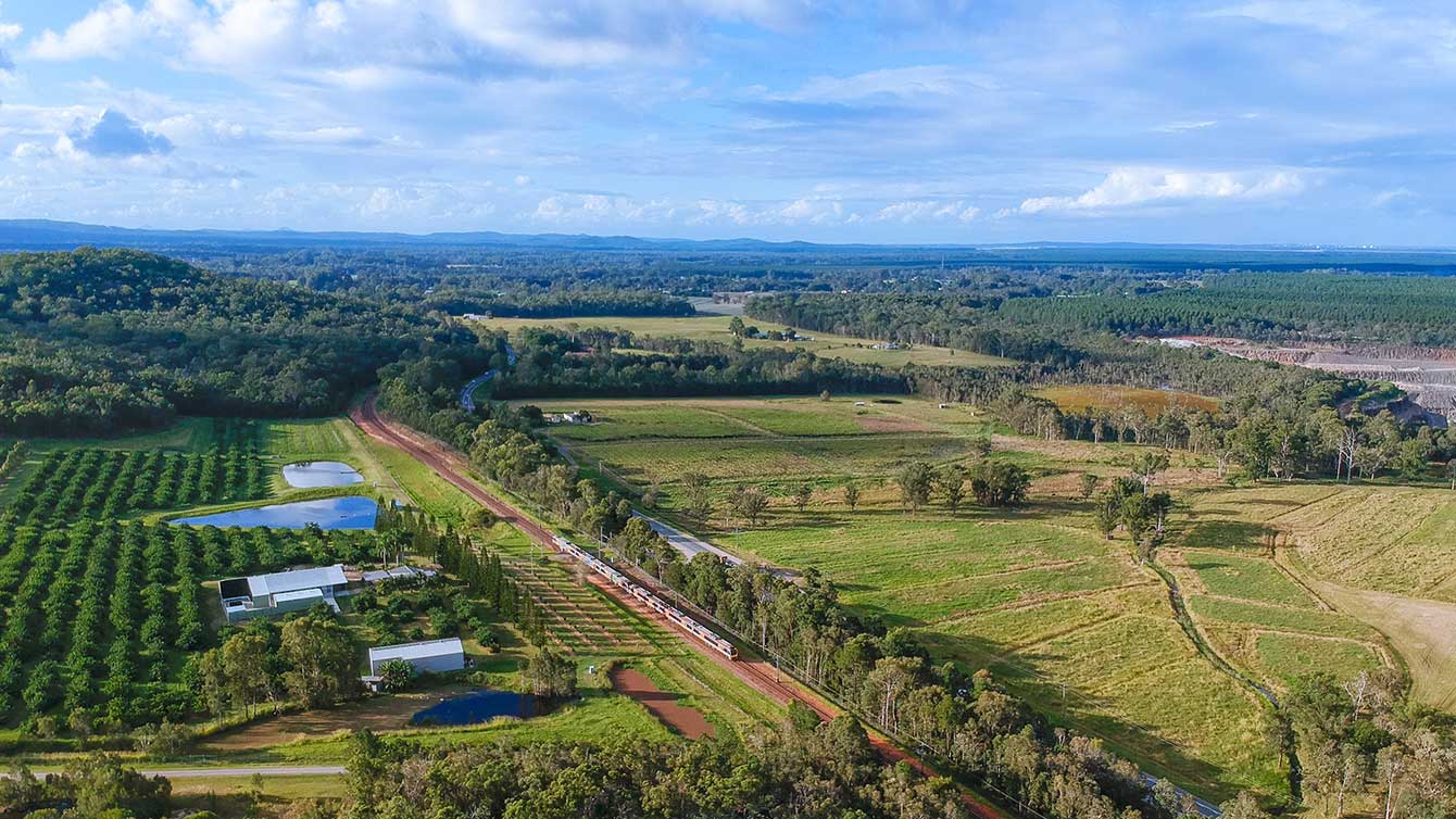
Planning is underway to improve flood immunity and safety on a section of Booral Road at Bunya Creek, including the Main Street intersection.

Bowen State Boat Harbour is a key strategic maritime asset in the northern Whitsunday region, providing deep water access for commercial and recreational vessels, a place for public recreation and supporting a range of local maritime businesses, marinas and fishing fleets.
Planning is now underway for the next phase of upgrades to improve safety along the Brisbane Valley Highway.

We are developing a rail corridor vision and a staged program of rail priorities to 2051 on the North Coast Line between Brisbane and Gympie North.
The Queensland Government is undertaking planning to identify and prioritise potential future upgrade locations for Mount Mee Road.
Planning has been completed for a possible future project on Brisbane–Beenleigh Road between Loganlea Road and Waterford–Tamborine Road at Waterford.
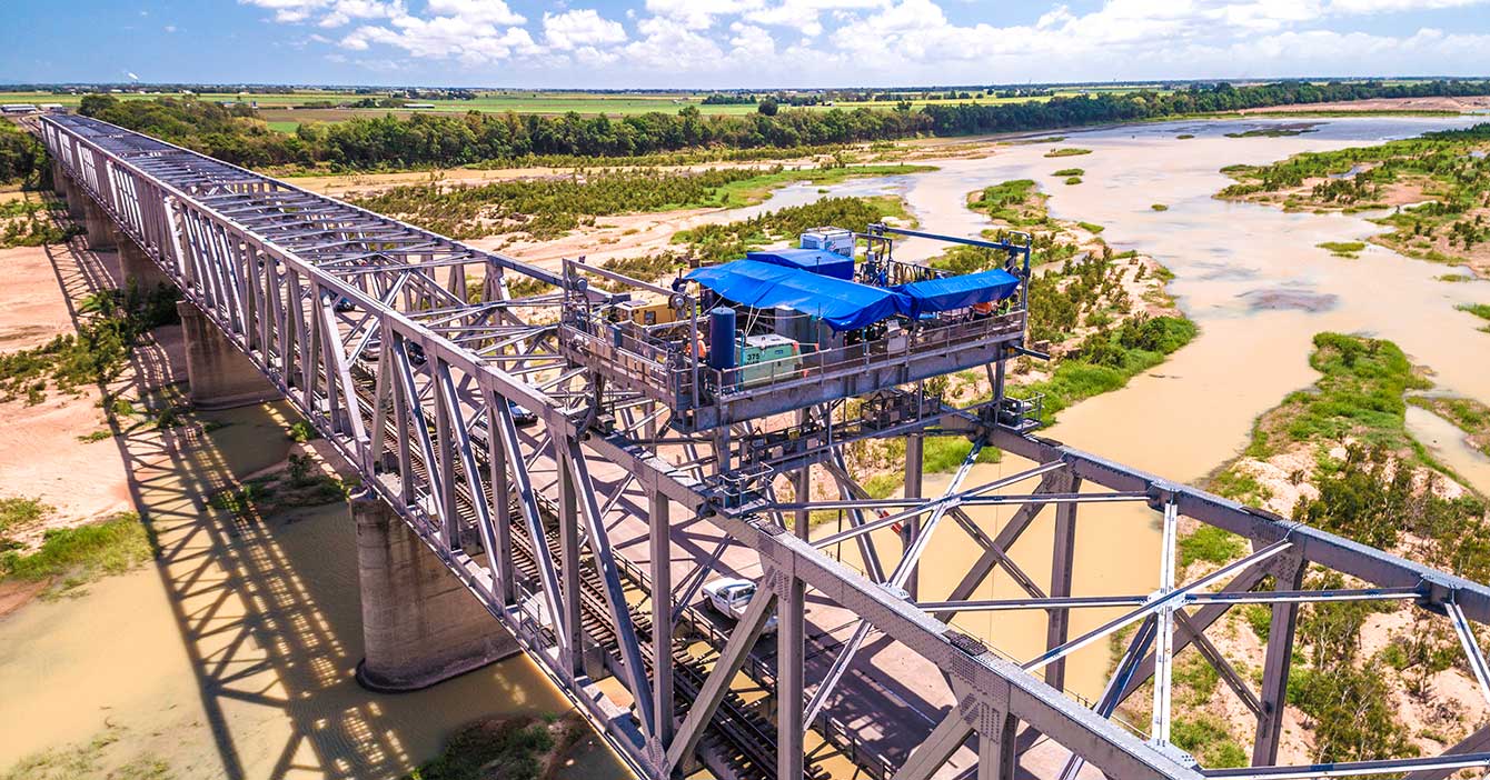
The Queensland Government is delivering an ongoing rehabilitation and maintenance program for the Burdekin River Bridge. This program is essential to preserving the structural integrity of the bridge and ensuring it remains a safe and reliable crossing for all road users.
An upgrade is planned for the Bruce Highway from Anzac Avenue, North Lakes to Uhlmann Road, Burpengary.
An upgrade is planned for the Bruce Highway from Buchanan Road, Morayfield to Caboolture-Bribie Island Road, Caboolture.

An upgrade is planned for the Bruce Highway from Uhlmann Road, Burpengary to Buchanan Road, Morayfield.

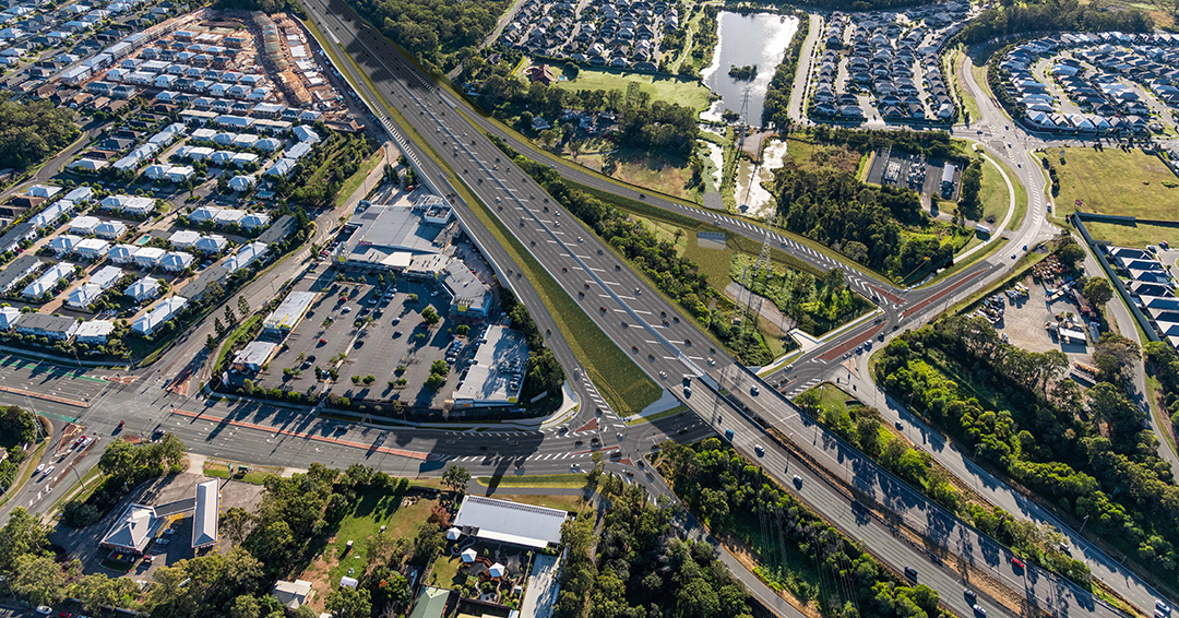
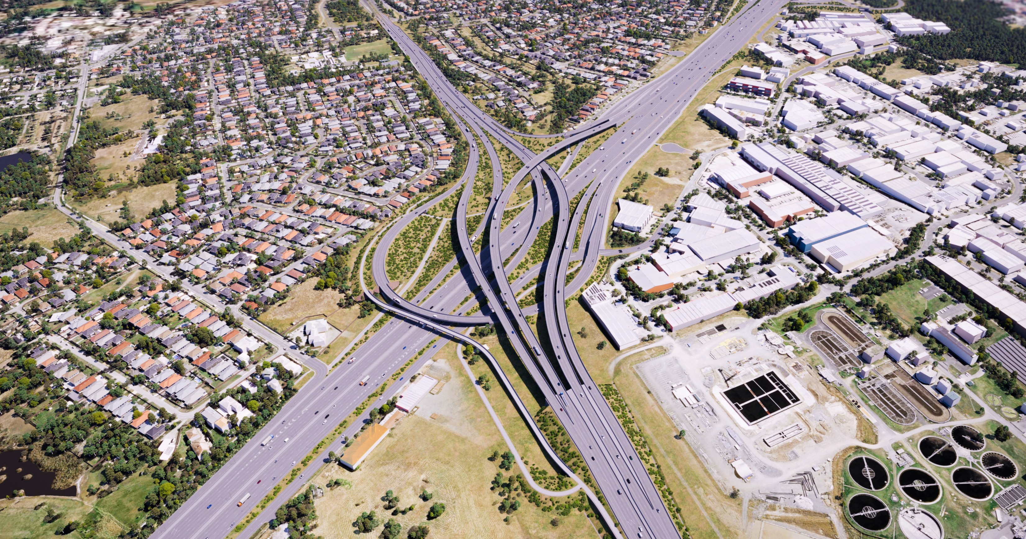
The department is delivering staged upgrades to manage increasing traffic demands on this section of the Bruce Highway. Stage 1 includes extended north-facing ramps from Dohles Rocks Road to Anzac Avenue.
The Queensland Government is improving flood immunity, safety, and efficiency of the Bruce Highway and future-proofing the road to cater for growing traffic volumes. The Tiaro Bypass will also remove a significant number of heavy vehicles from Tiaro township, improving safety and liveability for residents.
The Queensland Government has upgraded the Bruce Highway at Dallachy Road near Tully, improving flood resilience on this section of the highway.
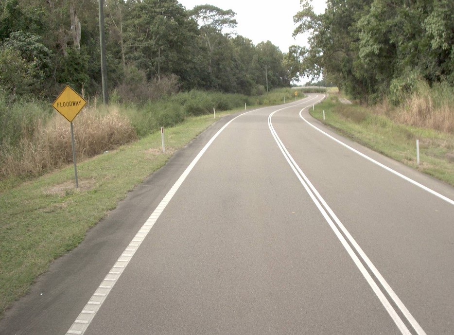
The Queensland Government is delivering an upgrade of the Bruce Highway at Gairloch Floodway to enhance safety and flood resilience along this complex and flood-prone section of the highway. Key improvements include road realignment, wide centre line treatment, and removal of a sharp curve to improve traffic flow and reduce flood-related disruptions.
The Queensland Government is progressing a $9 million planning and corridor preservation project for a potential bypass around Innisfail.
Detailed design is underway for the Bruce Highway (Mackay – Proserpine) O'Connell River to Proserpine, (Goorganga Floodplain) upgrade flood immunity project.
Construction is underway for around 2km of overtaking opportunities and upgrades to pavement and lighting at the Gunyarra Road intersection.
This project has been completed and provides Intelligent Transport System infrastructure at various locations along the Bruce Highway between Pine River and Cairns.
The Bruce Highway is a critical link for Queensland, connecting coastal and regional communities from Cairns to Brisbane. Safety upgrades have been completed at Twelve Mile Creek bridge and John Murphy Bridge.
Planning for the Bruce Highway and Bolsover Street intersection upgrade in Rockhampton will investigate safety and capacity improvements between the Neville Hewitt Bridge and Cambridge Street.
Planning for the Bruce Highway, Cairns Southern Access Corridor (Stage 5), Foster Road upgrade intersection project will assess and recommend options to upgrade this intersection.
The department and Bundaberg Regional Council (council) worked together to finalise the Bundaberg Integrated Transport Strategy which will outline the future transport initiatives in the Bundaberg region.
Planning is underway to investigate a future upgrade to the last remaining 2-lane section of Morayfield Road from Aquatic Centre Drive to Graham Road.
The Caboolture-Dakabin Station Access Study seeks to improve access to and around Caboolture, Morayfield, Burpengary, Narangba and Dakabin train stations.
Cairns Transit Network is the first busway planning project of its kind in regional Queensland. It will improve public transport in Cairns by giving buses priority, either in separate bus lanes or on dedicated bus-only lanes (busways) which will be separated from general traffic.
The department is conducting a planning study for the Cairns Western Arterial Road to identify future upgrades that will improve safety, capacity, and transport efficiency. The study area spans the entire length of the Cairns Western Arterial Road, from the Captain Cook Highway to Mulgrave Road, and includes the proposed Bruce Highway, Cairns Southern Access Corridor (Stage 6), Earlville Bypass.
The Queensland Government is planning for a future upgrade at the Caloundra Road and Bellvista Boulevard intersection in Little Mountain.

Planning is in progress to determine upgrade options to the Caloundra Road, Nicklin Way, and Pelican Waters Boulevard intersection to increase safety, reduce congestion, and improve active transport facilities and connectivity.
The Queensland Government is replacing the Surat Bridge, which crosses the Balonne River on the Carnarvon Highway.
The department is undertaking a range of planning activities on the Centenary Motorway between Darra and Yamanto.
The department is developing a masterplan to upgrade the Centenary Motorway corridor between Darra and Toowong. This initiative aims to improve safety, travel times and meet growing transport needs.

Coomera Connector (Future Stages), between Loganholme and Coomera, is around 29km and will connect with Coomera Connector Stage 1.
The Queensland Government is undertaking planning investigations to improve safety and traffic flow at the intersections of Diamond and Elm Streets and Myall and Elm Streets in Cooroy.
We are investigating safety, accessibility and congestion improvements for the Coorparoo level crossing precinct.

The department is undertaking planning for the remaining sections of the Ipswich Motorway between Rocklea and Darra.
Detailed planning is progressing for an interim safety upgrade and long-term solution for the Cunningham Highway and Ipswich–Rosewood Road intersection in Amberley.
Planning is underway for the upgrade of the Cunningham Highway between Dinmore and Mutdapilly, including Ripley Road and Swanbank Road interchanges.
Planning is underway to upgrade the Cunningham Highway.
The Queensland Government is investigating ways to improve safety for motorists on the D’Aguilar Highway in the Toowoomba Region.
Planning is now complete to develop a long-term vision for the future of Brisbane-Woodford Road (known as Dayboro Road) between Gympie Road and Youngs Crossing Road.

A planning study is underway to upgrade and expand the northern side of the park 'n' ride at Dinmore station.

Planning is progressing to improve access and create a sense of arrival to North Stradbroke Island (Minjerribah) by upgrading the ferry terminal at Junner Street, Dunwich (Gumpi).
The Fraser Coast region is experiencing significant growth, with its population projected to increase from 118,505 to 151,700 over the next 25 years.
The Queensland Government is upgrading the Gateway Motorway from Bracken Ridge to the Pine River to improve traffic flow and safety.
Planning is underway to improve flood immunity of Gatton–Esk Road at Lockyer Creek.
We are continuing to protect and plan for the Gold Coast heavy rail corridor between Varsity Lakes and Gold Coast Airport.
Planning has started on the proposed Currumbin Creek Active Transport Bridge between Palm Beach and Currumbin.
The department is continuing planning for future upgrades to the Gold Coast Highway at the intersection of Captain Cook Drive/Pine Ridge Road due to the high volume of traffic causing congestion and delays. The future upgrade aims to improve traffic flow and safety at the intersection.
Up to 67,000 vehicles travel each weekday between the northern suburbs and inner Brisbane, crossing Downfall Creek on Gympie Arterial Road at Chermside.
The Gympie Road Planning Program aims to improve travel from Herston to Carseldine and help prepare Brisbane for the 2032 Olympic and Paralympic Games.
We’re developing a new transport plan for western Brisbane to address traffic congestion, ensure public transport is accessible and reliable, and improve pedestrian and cyclist safety.
We have finalised the Ipswich to Springfield Public Transport Corridor Preliminary Evaluation.
A study has been undertaken to investigate a bypass at Fig Tree Pocket using the existing preserved corridor.
The department is working with the Australian Government to investigate and prioritise safety and resilience upgrades for Kuranda Range Road.
We have identified and preserved a new rail corridor between Landsborough and Nambour, which will replace the existing North Coast line through this section.
We are working with all levels of government to improve safety and accessibility at the Lindum Station and level crossing.
The Queensland Government is committed to improving road safety, reducing congestion, and supporting the growing needs of the Bald Hills community.
We are looking into ways to improve services and replace the trains used for the long-distance passenger network connecting many destinations across Queensland.
The M1 Pacific Motorway at Exit 45 (North) Ormeau is experiencing heavy congestion as rapid population growth transforms Ormeau and Pimpama from rural areas into dense urban communities.
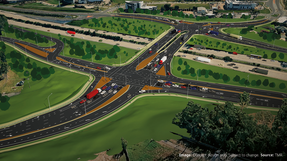
The proposed Mackay Port Access will provide a direct link for freight movements from the Mackay Port to the Mackay Ring Road, and west to the Bowen Basin coal fields via the Walkerston Bypass and Peak Downs Highway.
The Mackay Ring Road to Bald Hill Road Connection Project delivers a significant upgrade to the Brue Highway.
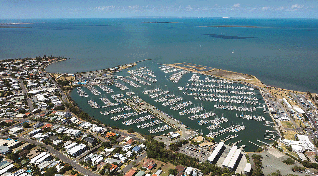
The Manly State Boat Harbour is an integral part of the bayside’s social, cultural and economic landscape. We are currently undertaking a master planning process to help guide future activities at the boat harbour.
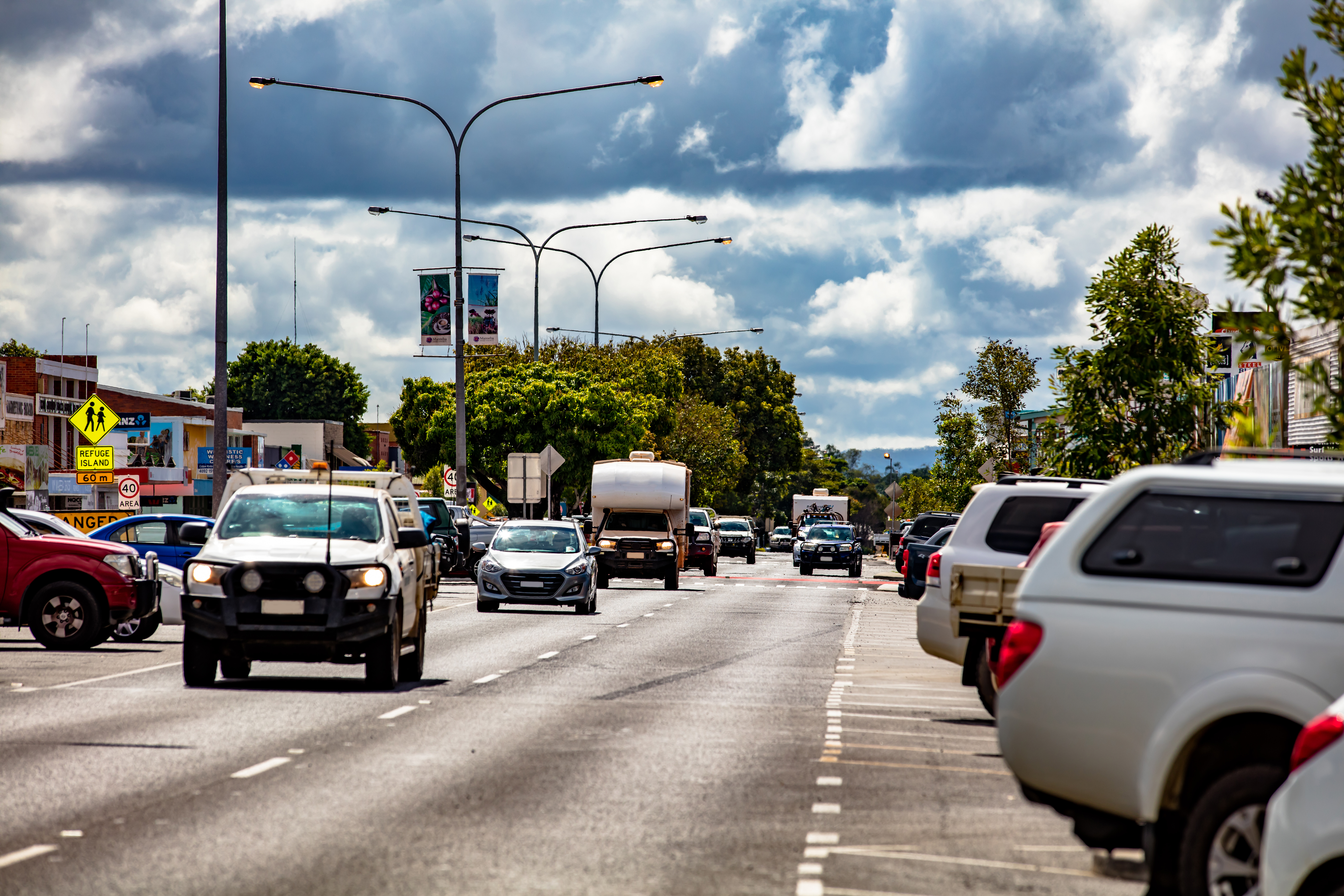
The planning for the Mareeba – Dimbulah Road, Mareeba Heavy Vehicle Bypass focused on progressing the southern section of the bypass and reviewing the alignment of the northern section.
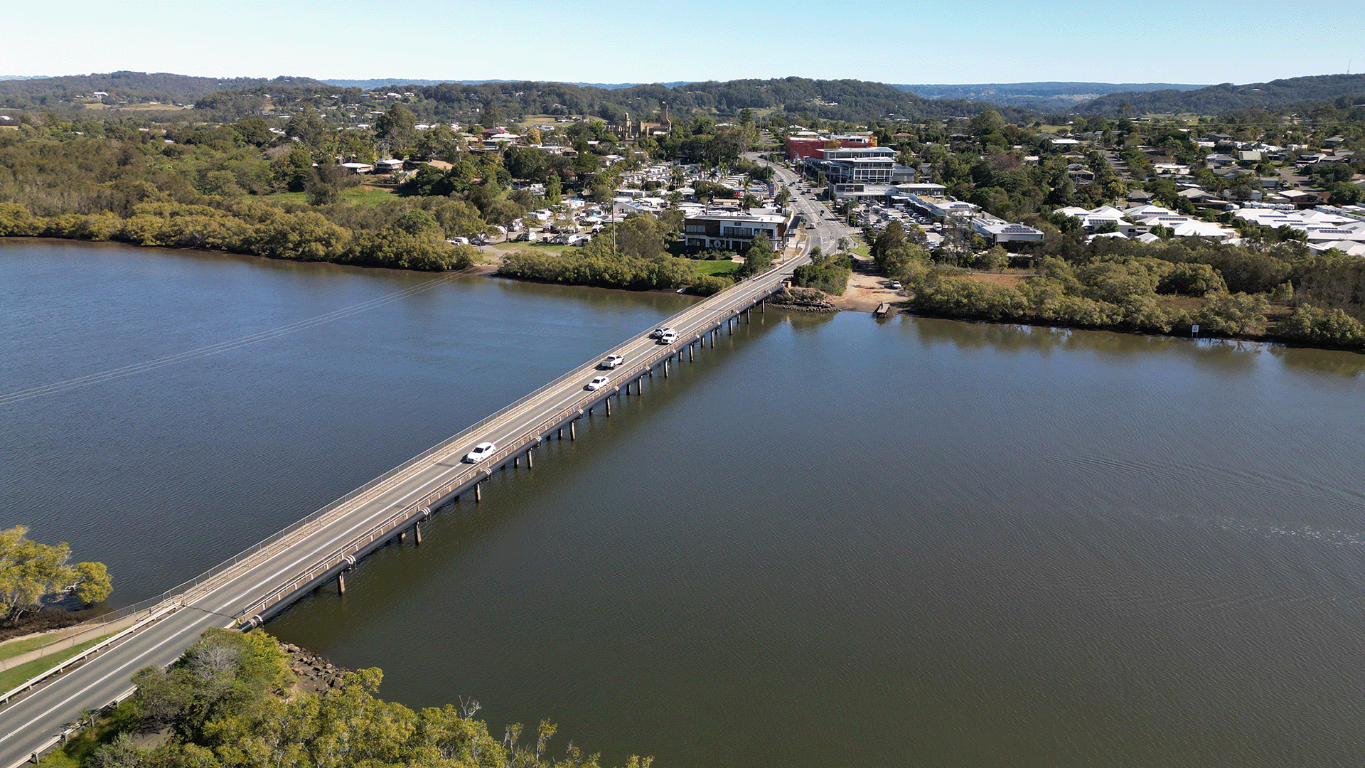
Planning for a future upgrade of Bli Bli bridge has proposed a new bridge to the north of the existing bridge.
Key features include a wider bridge deck with two lanes of traffic (one in each direction), road shoulders and dedicated active transport facilities.
Active transport improvements include a wider path for pedestrians, bike riders and mobility device users on the southern side of the new bridge with active transport paths connecting to Bli Bli village and Muller Park.
The proposed planning layout includes the ability to convert the bridge to four lanes should traffic demands require this in the future.
The Queensland Government remains committed to maintaining the existing Bli Bli bridge to allow continued safe operation for all users.
Regular inspections are conducted as part of the structures maintenance program to monitor its condition and enable any necessary repairs.
Planning has been completed and the project is now closed.
Timeframes for future stages are unknown and will depend on future funding commitments and competing statewide priorities.
Project priorities and funding needs are reviewed and re-evaluated regularly by the department to ensure that as many positive road outcomes as possible are obtained within a finite budget.
Planning is complete for 28km of Maroochydore–Noosa Road which runs from Ocean Street, Maroochydore to Emu Mountain Road, Peregian Springs.
Planning is underway to improve the safety and efficiency of the Maryborough–Hervey Bay Road (locally known as Saltwater Creek Road) and Ariadne Street intersection.
Planning to improve active transport infrastructure and safety on Moggill Road between the Centenary Motorway and Kilkivan Avenue, Kenmore is now complete.

Planning is underway for safety improvements at the intersections of Moggill Road and Brookfield Road and Moggill Road and Kenmore Road, Kenmore.
The department is undertaking planning to progressively upgrade the Beaudesert Road corridor, from the Logan Motorway towards Compton Road.
The Queensland Government is planning a range of safety and capacity improvements along sections of the Mount Lindesay Highway between Jimboomba and Beaudesert.
Design is underway to introduce traffic signals at the Nambour Connection Road intersections with Diddillibah Road and Blackall Street.
We're investigating the east-west public transport route connecting Nerang Station with Broadbeach South. This route will make travel faster, easier and more reliable for communities in the central Gold Coast.
Albion train station will be rebuilt and upgraded to support future interchange demand in Brisbane's inner north.
The Queensland Government is investigating future road infrastructure requirements to provide a better driving experience for all road users and to reduce the risk of fatal and serious injury crashes.
We are working with Queensland Rail to expand train stabling facilities across the rail network. Stabling yards are used to park trains when they are not in use.
Investigations are underway for future upgrades to the current Oakey–Cooyar Road (Davidson Street) and Oakey Connection Road (Bridge Street) intersection in Oakey.
Planning is underway for the Pacific Motorway (M1) – Daisy Hill to Logan Motorway upgrade. This section of the M1 cannot accommodate current traffic volumes and, as a result, experiences frequent and prolonged periods of congestion and poor travel time reliability.
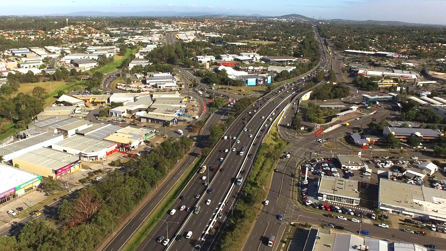
The Pacific Motorway M1 is one of South East Queensland’s busiest transport corridors, supporting commuter, freight and local traffic movements.
We are preserving the Park Ridge Connector, a future transport corridor to connect communities planned at Park Ridge, Flagstone and Yarrabilba to services and employment.
The Australian and Queensland governments are investigating improved freight connectivity to the Port of Brisbane.
A capacity upgrade is in development to complement the planned Proserpine-Shute Harbour Road Upgrade between Valley Drive to Tropic Road.
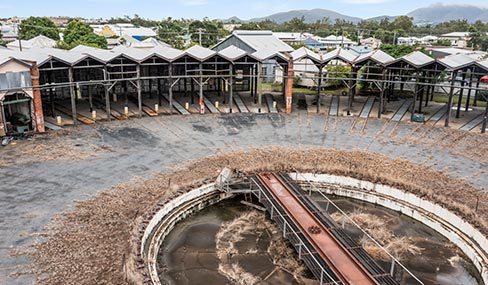
The heritage precinct focuses on preserving the site’s rich rail history and restoring the heritage-listed Roundhouse, one of only two remaining full-circle roundhouses in Australia.
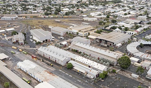
The Industrial Precinct focuses on commercial use and provides opportunities for a broad range of industries including rail, manufacturing and maintenance.
The Rockhampton Ring Road is a transformative project for the Bruce Highway, designed to support future economic growth and deliver key benefits such as improved flood resilience, freight efficiencies, reduced travel times and enhanced road safety.
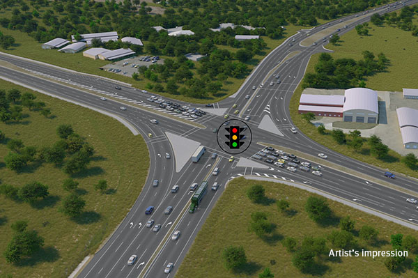
The Queensland Government is developing the Rosslyn Bay State Boat Harbour Master Plan (Master Plan) to guide the future use and development at the harbour.
We are planning for future transport needs between Salisbury and Beaudesert.
Scarborough State Boat Harbour is a vibrant part of the Redcliffe Peninsula community. The Harbour hosts dry standings and wet berths, as well as two public boat ramps, offering boating and cruising yacht facilities of particular significance for Australia's eastern seaboard.
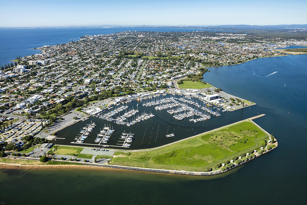
The Queensland Government is planning an upgrade of the Stafford Road and South Pine Road intersection at Everton Park.
The Queensland Government has released a planning layout for Stapylton -Jacobs Well Road.
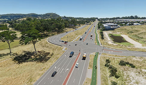
A detailed business case has been developed to improve the public transport system for the Sunshine Coast.
The Queensland Government is planning to duplicate the Sunshine Motorway between David Low Way to just north of Yandina-Coolum Road.
The Queensland Government is planning 2 new south-facing motorway ramps at West Coolum Road, Mount Coolum as part of a broader staged approach to upgrading the Sunshine Motorway
The Queensland Government is undertaking planning to identify future improvements to safety, capacity and traffic flow on the Sunshine Motorway between Mooloolah River and Maroochy River.
Last updated: 11 September 2026