Showing results 11-18 of 18

Sort results
Sort results
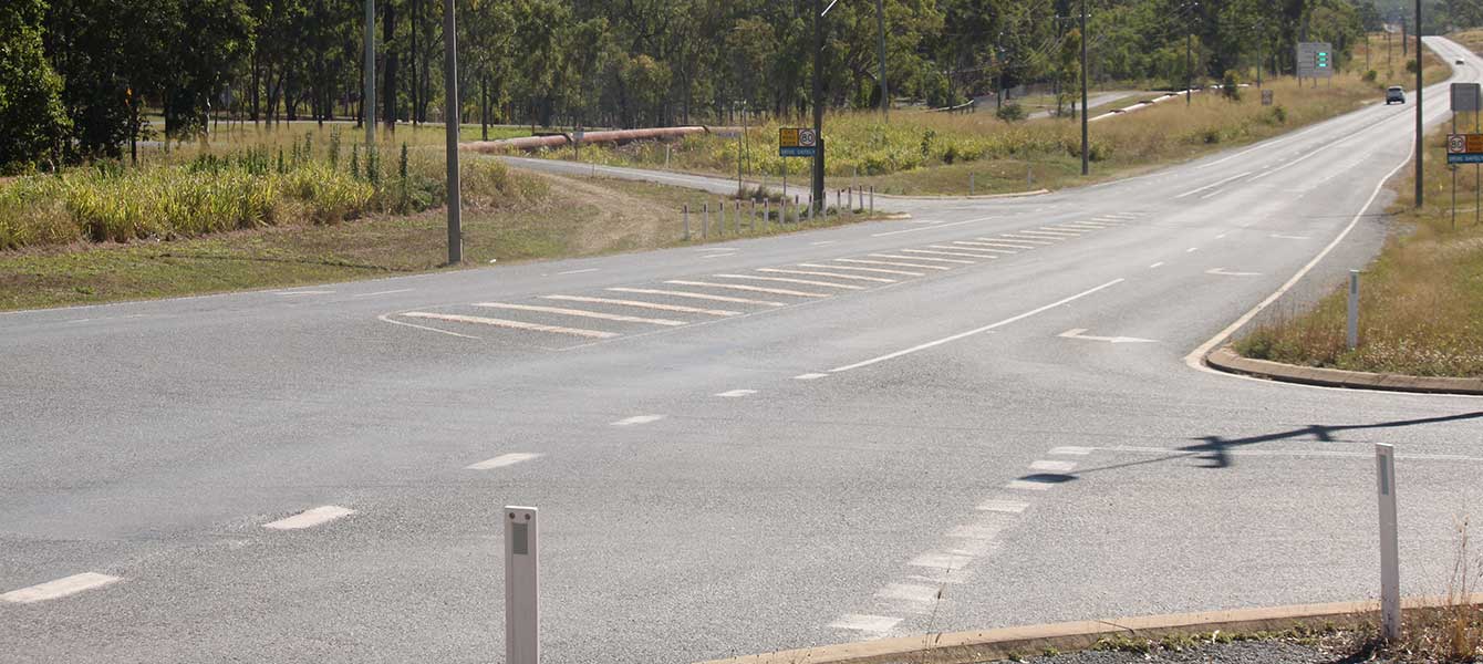
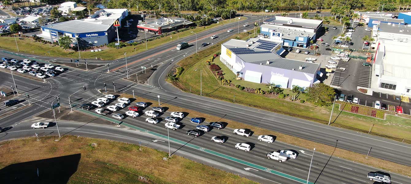
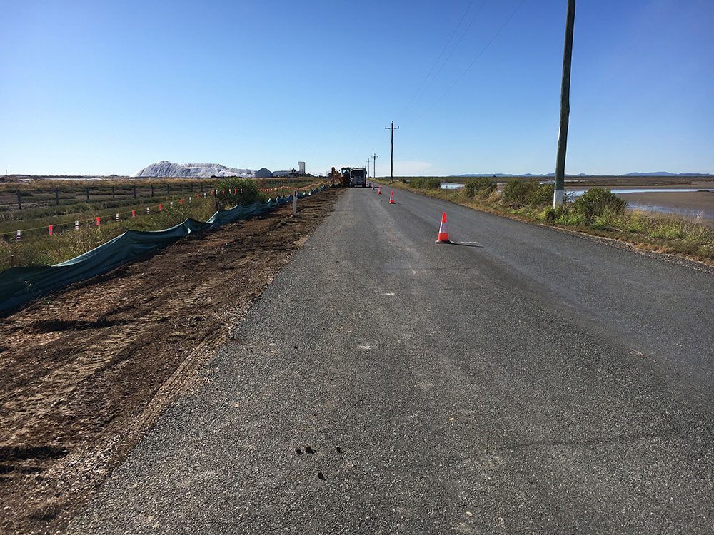
  1. Bruce Highway (Rockhampton – St Lawrence), Neilsen Avenue to Plentiful Creek, improve safety

    This $32.25 million package of works will improve safety through road widening for wide centre line treatment and intersection upgrades north of Rockhampton, from Neilsen Avenue to Plentiful Creek...

    Nielson Avenue to Plentiful Creek
  2. Barcaldine-Aramac Road, rehabilitate and widen pavement

    About 20km of the Barcaldine-Aramac Road has been gradually widened to improve travelling conditions...

    No image supplied
  3. Bruce Highway (Bowen – Ayr), construct overtaking lanes

    The Bruce Highway (Bowen – Ayr) overtaking lanes are being delivered as part of the Bruce Highway Upgrade Program, a $13 billion, 15-year program of works aimed at improving safety, flood resilience...

    No image supplied
  4. Mackay Northern Access Upgrade, construct additional lanes

    We are upgrading the highway, and major intersection upgrades, north of Mackay to reduce congestion and improve traffic flow in critical areas...

    Mackay Northern Access
  5. Bruce Highway (Mackay – Proserpine), Goorganga Plains, plan and preserve

    This project involves preparing a business case to upgrade the immunity of the Bruce Highway at the Goorganga and Myrtle Creek floodplains, located 4kms south and 6kms north of Proserpine...

    No image supplied
  6. May Downs Road, pave and seal

    The May Downs Road, pave and seal project is delivering $8 million in road improvements to boost connectivity between the western and eastern parts of the Isaac Regional Council area...

    Map showing the location of work to be completed on the May Downs Road.
  7. Richmond-Winton Road, pave and seal

    Another 3km of the road is being sealed to improve safety and travel times on this key transport link...

    The map shows the locality of three separate projects on the Richmond-Winton Road delivered as part of a progressive approach to sealing this road. The road is located between Richmond and Winton in western Queensland, with the three projects closest to Winton. Project location 1 is shown by a solid blue line. Project location 2 is shown by a green line with a broken blue line in the centre. Project location 3 is shown by an orange line with a blue line in the centre. The surrounding road network, including the Landsborough Highway and local government owned Corfield-Richmond Road are also shown on the map.
  1. Page 1
  2. Page 2
Next Page (disabled)