Showing results 1-4 of 4

Sort results
Sort results
  1. Oakey-Pittsworth Road, various locations, business case

    Planning is underway to increase safety, efficiency and reliability of Oakey-Pittsworth Road...

    No image supplied
  2. Booral Road, Bunya Creek floodway and Main Street intersection upgrade, planning

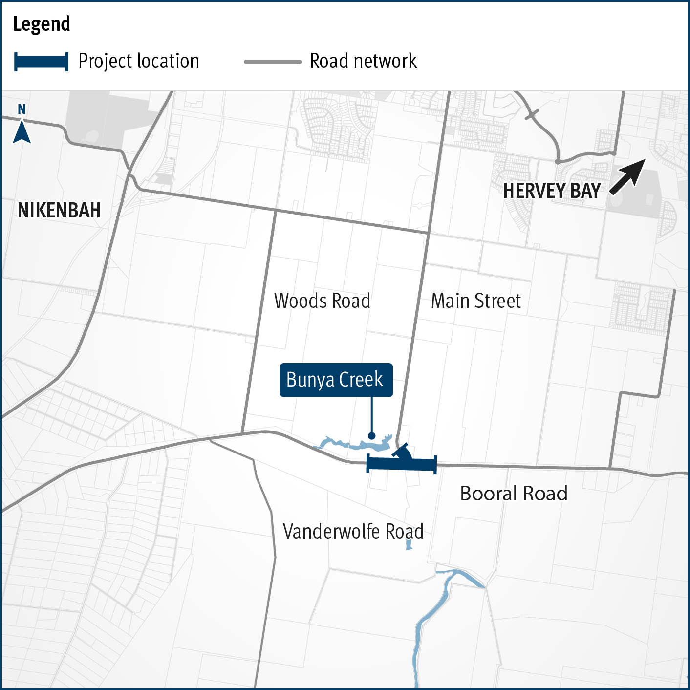
    Planning is underway to improve flood immunity and safety on a section of Booral Road at Bunya Creek, including the Main Street intersection...

    Alternative text: The map shows the locality of the proposed Booral Road, Bunya Creek floodway and Main Street intersection upgrade. Nikenbah is located to the north and Hervey Bay to the north-east. Bunya Creek is located just north west of the proposed project location. A solid dark blue line indicates the project extent, which encompasses the Booral Road and Main Street intersection as well as the Bunya Creek floodway along Booral Road, which is located just west of the intersection. The local road network, including Woods Road and Vanderwolfe Road are also highlighted on the map.
  3. Cunningham Highway safety upgrades – Warwick to Inglewood

    Planning is underway to make the Cunningham Highway safer between Warwick and Inglewood...

    No image supplied
  4. Toowoomba - Cecil Plains Road, Taylor Street cycleway, business case

    This planning project will establish a long-term vision to provide fit for purpose bike facilities along Taylor Street, Toowoomba, that encourages more people to ride more often...

    No image supplied