Cairns Transport Study, planning
The Cairns Transport Study will develop a strategy for the Cairns transport network that supports sustainable, efficient, equitable and affordable transport outcomes consistent with economic, social...
The Cairns Transport Study will develop a strategy for the Cairns transport network that supports sustainable, efficient, equitable and affordable transport outcomes consistent with economic, social...

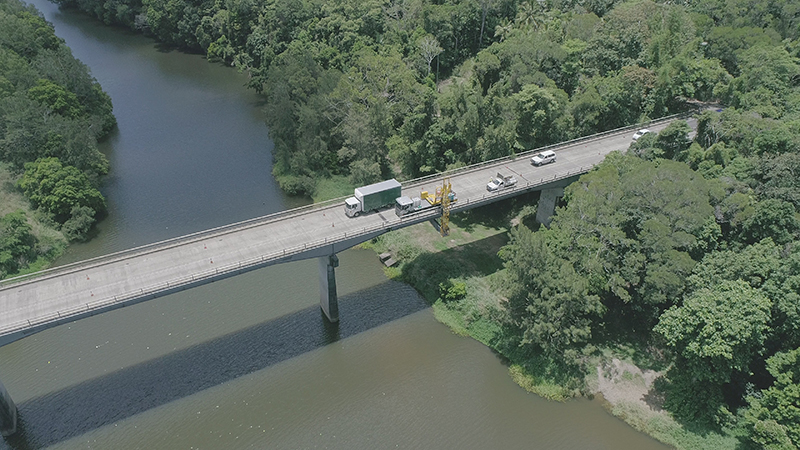
The Barron River bridge planning project will investigate long-term solutions for the bridge near Kuranda...
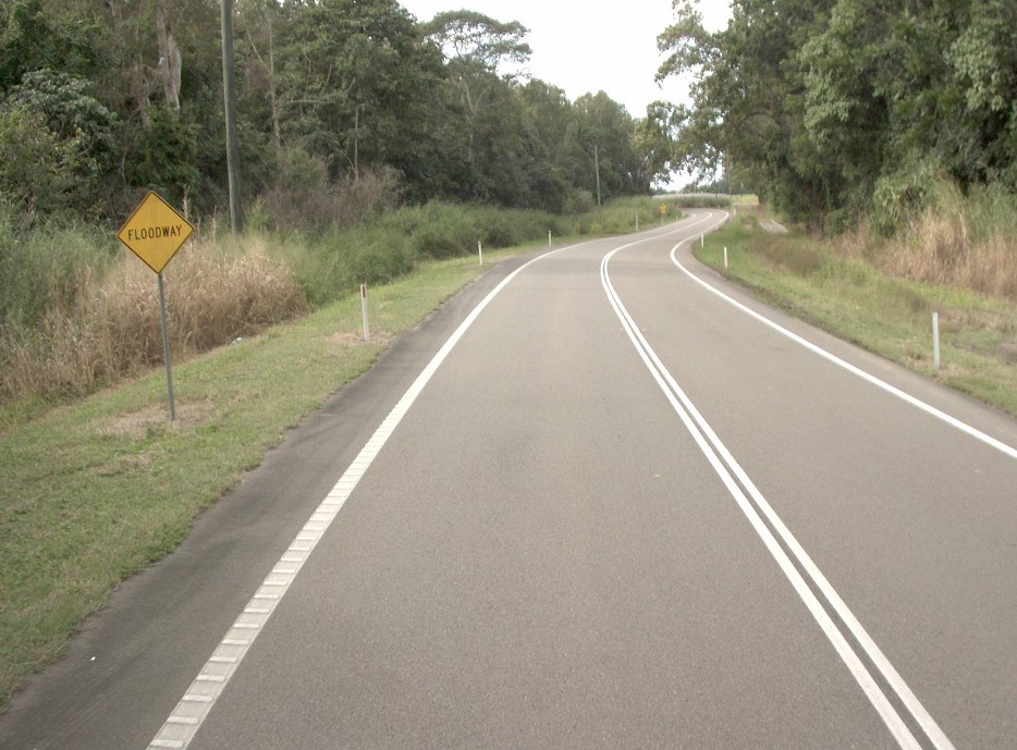
Planning has commenced to improve safety and reduce the time of closure due to flooding on a complex section of the Bruce Highway at the Gairloch floodway, 5km north of Ingham...
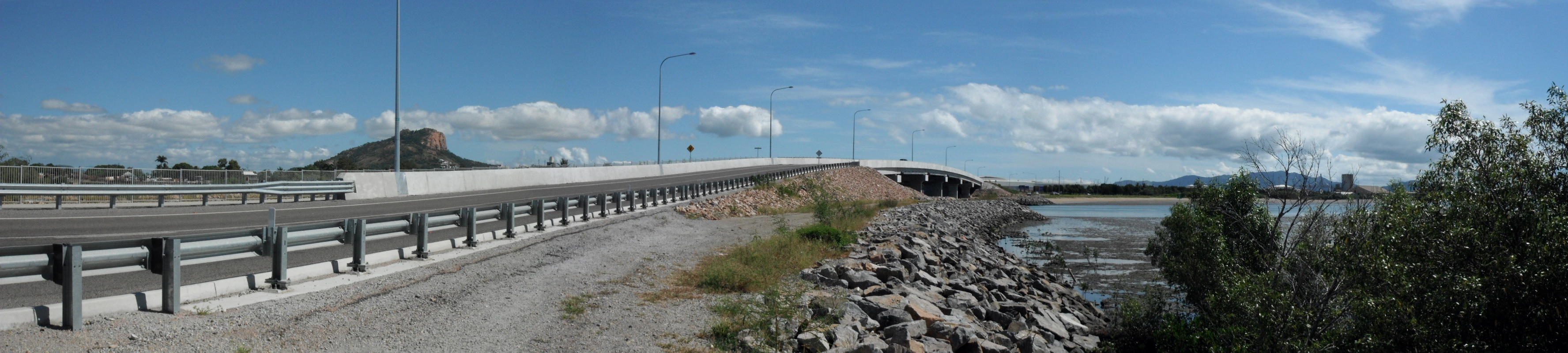
Planning for the Bruce Highway, Cairns Southern Access Corridor, (Stage 5) Foster Road upgrade intersection project will assess and recommend options to upgrade this intersection...
We are progressing the planning for a $359 million program of road upgrades on Captain Cook Highway between Cairns and Smithfield...
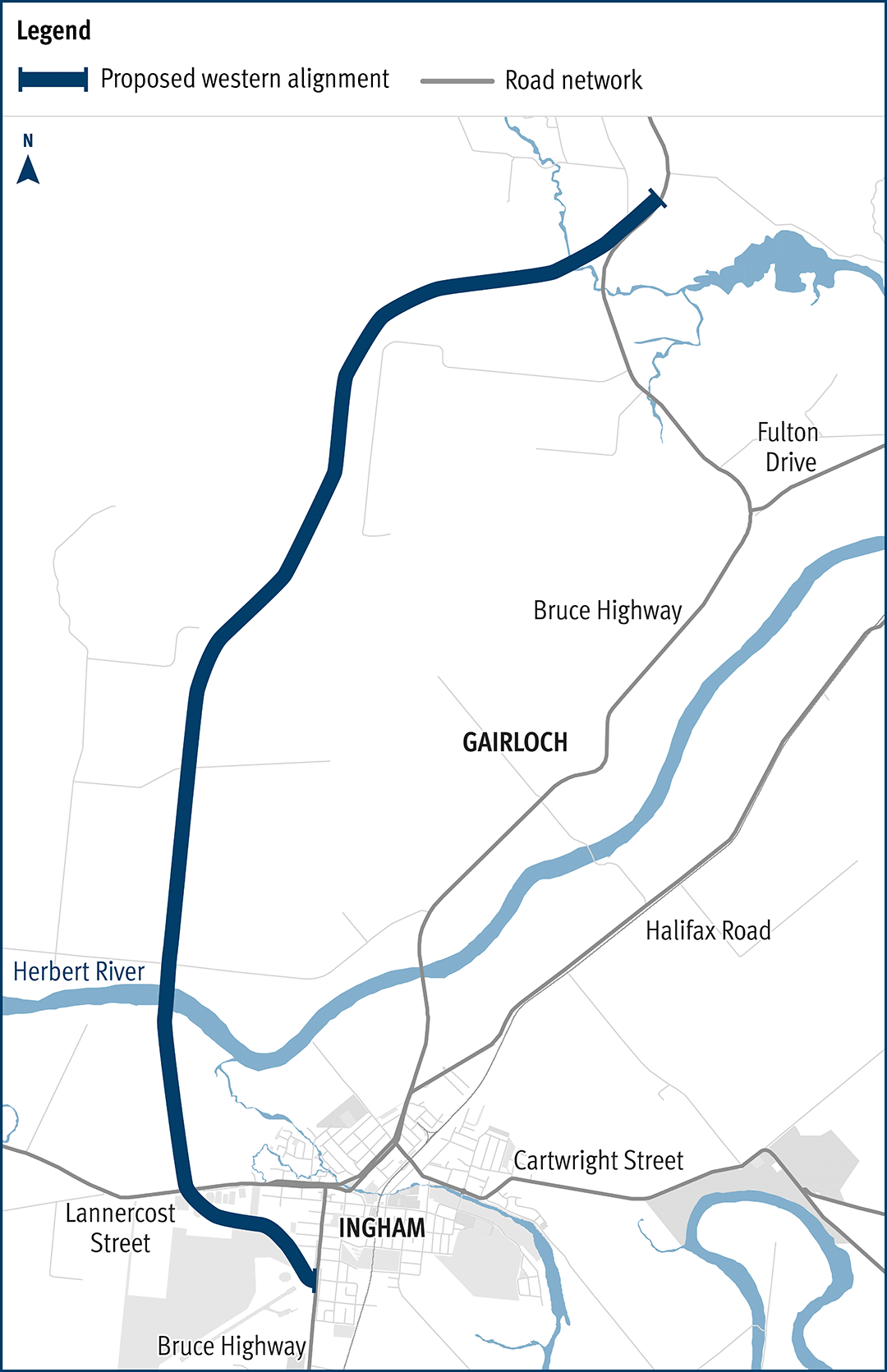
The department has been actively working with the community to address the challenges associated with the Bruce Highway from South of Ingham to the Cardwell Range...
This project will complete planning for the southern section of the Mareeba Bypass and review the alignment of the northern section...
A planning study is currently being undertaken to identify and preserve a corridor for a future bypass of Innisfail...
We have commenced planning for a new transit network for Cairns. This planning includes building a network to deliver dedicated public transport spines that will connect the length and breadth of...
The Townsville Eastern Access Rail Corridor (TEARC) project is a proposed 8.3km rail freight line connecting the North Coast rail line directly into the Port of Townsville...