
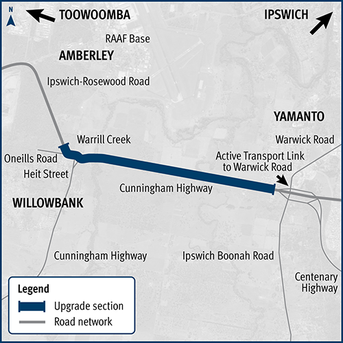
Cunningham Highway (Ipswich–Warwick) and Ipswich-Rosewood Road intersection, business case
We have started planning for an interim upgrade of the Cunningham Highway and Ipswich–Rosewood Road intersection in Amberley...
We have started planning for an interim upgrade of the Cunningham Highway and Ipswich–Rosewood Road intersection in Amberley...
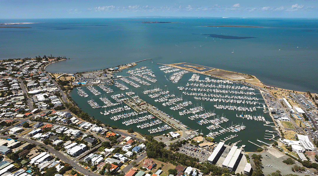
The Manly Boat Harbour is an integral part of Manly's social, cultural and economic landscape. We want to better understand your ideas for the harbour to help guide future activities and community...
We are planning to expand the park 'n' ride at Altandi station...

We have finalised a preferred concept plan for the intersection of Stafford Road and South Pine Road, Everton Park...
This study will investigate passenger rail from Toowoomba to Brisbane...
We are investigating ways to make Banyo level crossing precinct safer...
The Bicentennial Bikeway – Kurilpa Bridge to Victoria Bridge upgrade provides an upgraded link for bicycle riders and pedestrians in Brisbane's Central Business District...
This study investigated a bypass at Fig Tree Pocket using the existing preserved corridor...
We are undertaking planning for Mount Cotton Road, Redland Bay Road and the Redland Sub-Arterial Road, including the Double Jump Road, Ney Road and Taylor Road intersections...
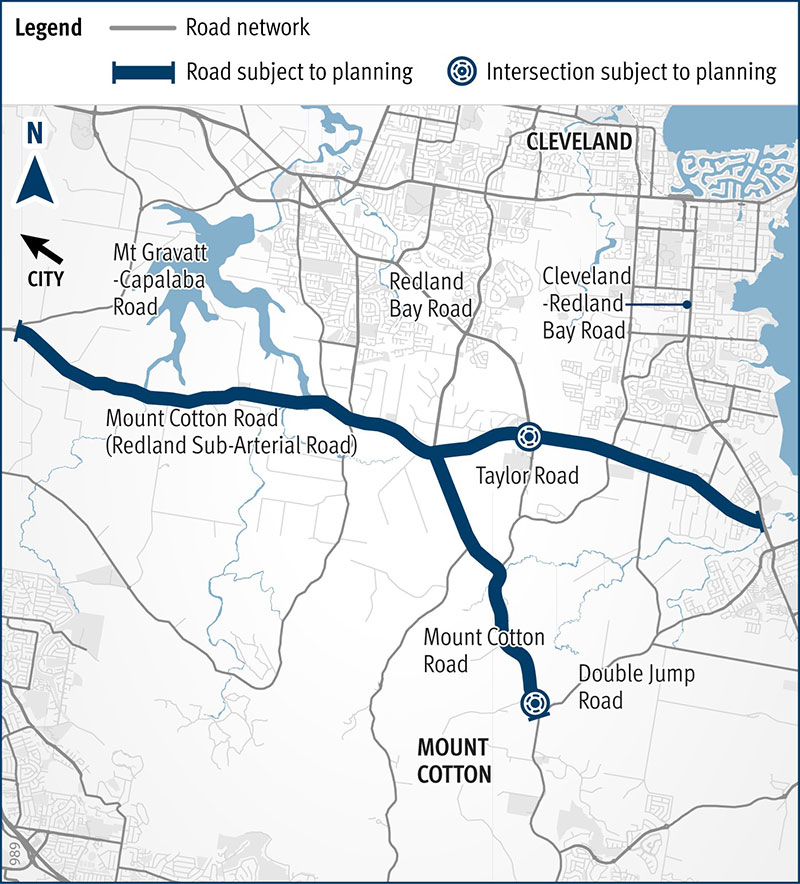
We are undertaking planning for Mount Cotton Road, Redland Bay Road and the Redland Sub-Arterial Road, including the Double Jump Road, Ney Road and Taylor Road intersections...
